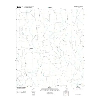
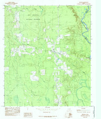
2013 Map of Hicksbaugh
USGS Topo · Published 2013About this map
The settlement of Hicksbaugh is positioned within a landscape defined by the intersection of industrial extraction and environmental conservation. This portion of the East Texas piney woods is home to the Big Thicket National Preserve, which borders areas of intensive petroleum production including the Swearingen Oil Field and the Hicksbaugh Oil Field. The terrain is deeply etched by a network of waterways such as Turkey Creek, Theuvenins Creek, and Beech Creek, which wind between family-named landmarks and rural burial grounds.
Find a feature on this map
55 named features on this map. Tap any name to fly to it.
Don’t see what you’re looking for? This feature index may not catch every label — zoom into the map to look around manually.
Map Details
Editions of this 2013 Hicksbaugh Map
This is the sole edition of this map. No revisions or reprints were ever made.
Other maps of this area

1954 · Beaumont
USGS Topo · 1:250,000
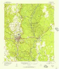
1955 · Silsbee
USGS Topo · 1:62,500
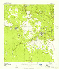
1955 · Kountze
USGS Topo · 1:62,500

1957 · Beaumont
USGS Topo · 1:250,000
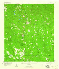
1958 · Warren
USGS Topo · 1:62,500
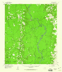
1958 · Spurger
USGS Topo · 1:62,500
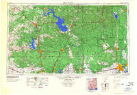
1984 · Beaumont
USGS Topo · 1:250,000
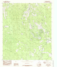
1984 · Hillister
USGS Topo · 1:24,000
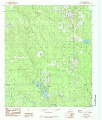
1984 · Warren
USGS Topo · 1:24,000
1984 · Spurger
USGS Topo · 1:24,000