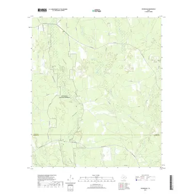
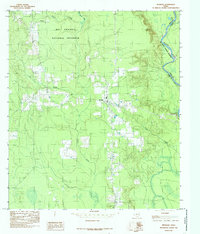
2019 Map of Hicksbaugh
USGS Topo · Published 2019About this map
Big Thicket National Preserve occupies a significant portion of this landscape, where the southern reaches of Tyler County meet the northern edge of Hardin County. The area is defined by a dense network of watercourses, including the winding Turkey Cr and Thouching Cr, which feed into the wider basin of Beech Cr. These waterways are flanked by the Turkey Creek Trail, illustrating the balance between protected wilderness and local access in this part of East Texas. Several family-named cemeteries, such as Gardner Cem, Hester Cem, and Richardson Cem, are scattered across the terrain, serving as vital landmarks for genealogical research. The road network, including Hicksbaugh Rd and FM 1943 RD E, connects these quiet woodlands to the broader region during the late twenty-teens.
Find a feature on this map
48 named features on this map. Tap any name to fly to it.
Don’t see what you’re looking for? This feature index may not catch every label — zoom into the map to look around manually.
Map Details
Editions of this 2019 Hicksbaugh Map
This is the sole edition of this map. No revisions or reprints were ever made.
Other maps of this area

1954 · Beaumont
USGS Topo · 1:250,000
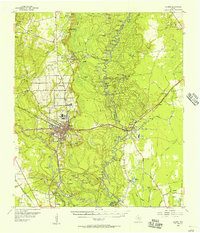
1955 · Silsbee
USGS Topo · 1:62,500
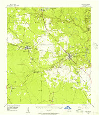
1955 · Kountze
USGS Topo · 1:62,500

1957 · Beaumont
USGS Topo · 1:250,000
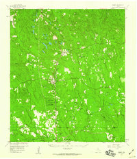
1958 · Warren
USGS Topo · 1:62,500
1958 · Spurger
USGS Topo · 1:62,500
1984 · Beaumont
USGS Topo · 1:250,000
1984 · Hillister
USGS Topo · 1:24,000
1984 · Warren
USGS Topo · 1:24,000
1984 · Spurger
USGS Topo · 1:24,000