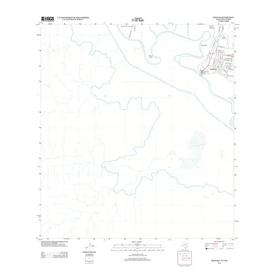
2013 Map of Hidalgo
USGS Topo · Published 2013About this map
Hidalgo stands as a focal point along the international border, where the McAllen-Hidalgo-Reynosa Toll Bridge spans the Rio Grande. The landscape is defined by the river's dramatic meanders, creating distinct geographic features such as Pate Bend and Rincon Bend, as well as jurisdictional markers like Coyote Banco Number 85 and Reynosa Banco Number 98. These bancos represent areas of land once cut off by the shifting course of the river, highlighting the complex historical hydrology of the Texas-Mexico borderlands. Infrastructure such as the McAllen Main Canal and the Hidalgo Gas Field illustrates the region's reliance on both irrigation and natural resource extraction. Local navigation is mapped through river access points like Anzalduas Xing and the residential street grid of the city, which extends toward Lake Texano and Carlson Lake.
Find a feature on this map
33 named features on this map. Tap any name to fly to it.
Don’t see what you’re looking for? This feature index may not catch every label — zoom into the map to look around manually.
Map Details
Editions of this 2013 Hidalgo Map
This is the sole edition of this map. No revisions or reprints were ever made.
Other maps of this area
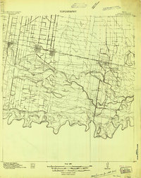
1914 · San Juan
USGS Topo · 1:48,000
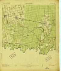
1916 · San Juan
USGS Topo · 1:62,500
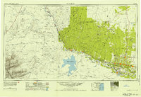
1949 · Mc Allen
USGS Topo · 1:250,000
1954 · McAllen
USGS Topo · 1:250,000
1957 · Mc Allen
USGS Topo · 1:250,000
1962 · McAllen
USGS Topo · 1:250,000
1962 · Las Milpas
USGS Topo · 1:24,000
1963 · La Joya
USGS Topo · 1:24,000
1963 · Hidalgo
USGS Topo · 1:24,000
1963 · Mission
USGS Topo · 1:24,000