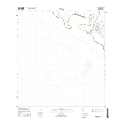
2016 Map of Hidalgo
USGS Topo · Published 2016About this map
Hidalgo sits along the northern banks of the meandering Rio Grande, serving as a critical point of international transit in the southern tip of Texas. The landscape is defined by the heavy oxbows of the river, notably at Rincon Bend and Pate Bend, where the border between the United States and Mexico follows the shifting course of the water. Infrastructure dominates the northeast, with International Blvd leading directly to the McAllen-Hidalgo-Reynosa Toll Bridge, a vital artery for the region's cross-border economy. Inland, the presence of the McAllen Main Canal and the neighborhood-bound Lake Texano and Lake Tropicana illustrates the management of water resources for both agricultural and residential purposes in this flat, fertile borderland.
Find a feature on this map
26 named features on this map. Tap any name to fly to it.
Don’t see what you’re looking for? This feature index may not catch every label — zoom into the map to look around manually.
Map Details
Editions of this 2016 Hidalgo Map
This is the sole edition of this map. No revisions or reprints were ever made.
Other maps of this area

1914 · San Juan
USGS Topo · 1:48,000

1916 · San Juan
USGS Topo · 1:62,500

1949 · Mc Allen
USGS Topo · 1:250,000

1954 · McAllen
USGS Topo · 1:250,000

1957 · Mc Allen
USGS Topo · 1:250,000

1962 · McAllen
USGS Topo · 1:250,000
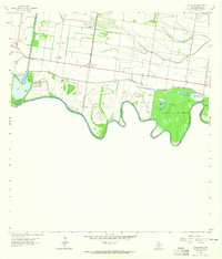
1962 · Las Milpas
USGS Topo · 1:24,000

1963 · La Joya
USGS Topo · 1:24,000
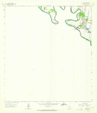
1963 · Hidalgo
USGS Topo · 1:24,000
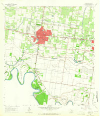
1963 · Mission
USGS Topo · 1:24,000