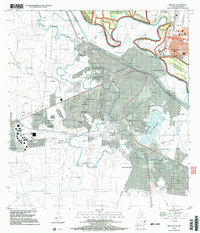
2002 Map of Hidalgo
USGS Topo · Published 2003About this map
The Rio Grande serves as the international dividing line in this detailed study of the border region near the start of the 21st century. On the Texas side, the city of Hidalgo shows a dense cluster of civic and educational landmarks, including Hidalgo High Sch, Hidalgo Elem Sch, and Salinas Elem Sch. The landscape is defined by the heavy management of water, featuring the Canal Principal, Guillermo Rode, and the McAllen Pumping Station, which supported the region's agricultural and municipal needs. To the south, the sprawling urban grid of Reynosa extends toward Laguna La Escondida, connected to its northern neighbor via the McAllen-Hidalgo-Reynosa Toll Bridge and the International Bridge. Preservation efforts are visible in the Lower Rio Grande Valley National Wildlife Refuge, which protects the winding riverbanks and the Rincon Bend.
Find a feature on this map
58 named features on this map. Tap any name to fly to it.
Don’t see what you’re looking for? This feature index may not catch every label — zoom into the map to look around manually.
Map Details
Editions of this 2002 Hidalgo Map
This is the sole edition of this map. No revisions or reprints were ever made.
Other maps of this area

1914 · San Juan
USGS Topo · 1:48,000

1916 · San Juan
USGS Topo · 1:62,500

1949 · Mc Allen
USGS Topo · 1:250,000

1954 · McAllen
USGS Topo · 1:250,000

1957 · Mc Allen
USGS Topo · 1:250,000

1962 · McAllen
USGS Topo · 1:250,000
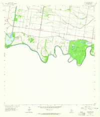
1962 · Las Milpas
USGS Topo · 1:24,000

1963 · La Joya
USGS Topo · 1:24,000
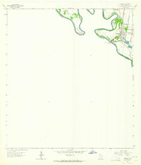
1963 · Hidalgo
USGS Topo · 1:24,000
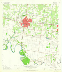
1963 · Mission
USGS Topo · 1:24,000