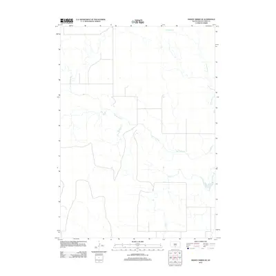
2012 Map of Hidden Timber NE
USGS Topo · Published 2012About this map
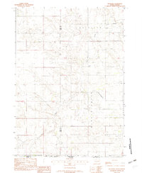
The Keya Paha River defines the central topography of this Todd County landscape as it meanders through the southern reaches of the Rosebud Indian Reservation. This 2012 survey illustrates the section of the High Plains where the prairie is dissected by intermittent drainages, most notably Crazy Hole Cr in the northeast and Eagle Cr in the southeast. The map reveals a highly structured section-line road network characteristic of the Great Plains, indicating how the pastoral and agricultural land use is organized around these primary watercourses. This modern data from the U.S. Geological Survey provides a detailed record of the subtle drainage patterns and rural infrastructure that shape the Okreek segment area.
Find a feature on this map
3 named features on this map. Tap any name to fly to it.
Don’t see what you’re looking for? This feature index may not catch every label — zoom into the map to look around manually.
Map Details
Editions of this 2012 Hidden Timber NE Map
This is the sole edition of this map. No revisions or reprints were ever made.
Other maps of this area

1955 · Martin
USGS Topo · 1:250,000

1958 · Martin
USGS Topo · 1:250,000
1982 · Hidden Timber
USGS Topo · 1:24,000
1982 · Okreek
USGS Topo · 1:25,000
1982 · Witten SW
USGS Topo · 1:25,000
1982 · Hidden Timber SE
USGS Topo · 1:24,000
1982 · Okreek SE
USGS Topo · 1:24,000
1982 · Keyapaha NW
USGS Topo · 1:24,000
1982 · Hidden Timber NE
USGS Topo · 1:24,000
1982 · Keyapaha
USGS Topo · 1:24,000