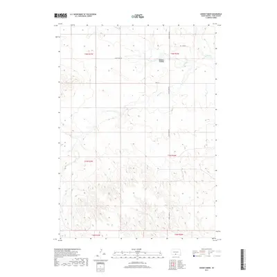
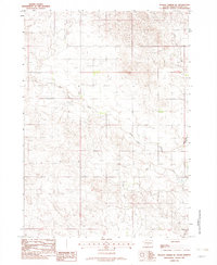
2017 Map of Hidden Timber
USGS Topo · Published 2017About this map
Hidden Timber serves as a central point of reference in this landscape of the Rosebud Indian Reservation region, where the terrain is defined by the drainage systems of the Keya Paha River and its tributaries. The survey details the winding paths of Antelope Cr and Rock Cr as they cut through the section lines of Todd County. Transport across these prairie reaches is marked by a network of local roads including Hidden Timber Rd, Sage Rd, and 289th St. The map illustrates a sparse settlement pattern characteristic of this portion of South Dakota, focusing on the relationship between water sources and the organized grid of the Public Land Survey System, which divides the territory into townships such as T38N R26W and T37N R27W.
Find a feature on this map
13 named features on this map. Tap any name to fly to it.
Don’t see what you’re looking for? This feature index may not catch every label — zoom into the map to look around manually.
Map Details
Editions of this 2017 Hidden Timber Map
This is the sole edition of this map. No revisions or reprints were ever made.
Other maps of this area

1955 · Martin
USGS Topo · 1:250,000

1958 · Martin
USGS Topo · 1:250,000
1982 · Olsonville
USGS Topo · 1:24,000
1982 · Olsonville SE
USGS Topo · 1:24,000
1982 · Hidden Timber
USGS Topo · 1:24,000
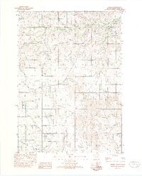
1982 · Okreek
USGS Topo · 1:25,000
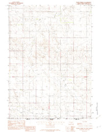
1982 · Hidden Timber SE
USGS Topo · 1:24,000
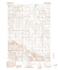
1982 · Okreek SE
USGS Topo · 1:24,000
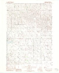
1982 · Mission SE
USGS Topo · 1:24,000
1982 · Hidden Timber NE
USGS Topo · 1:24,000