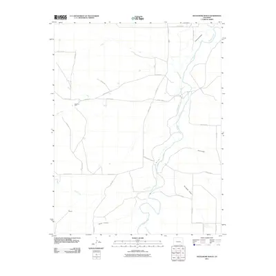
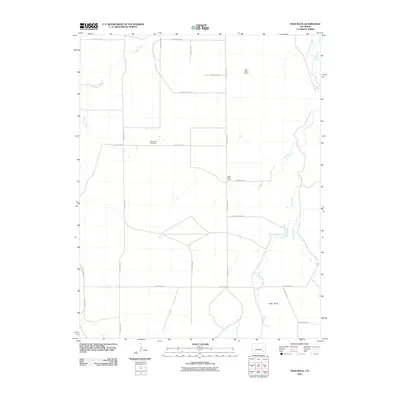
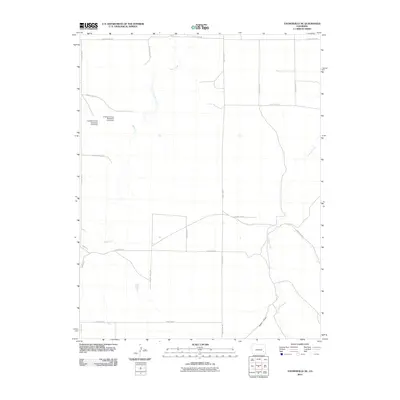
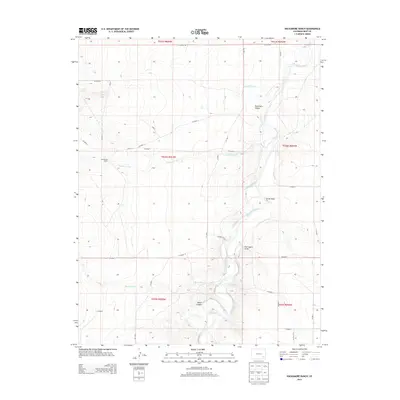
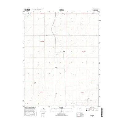
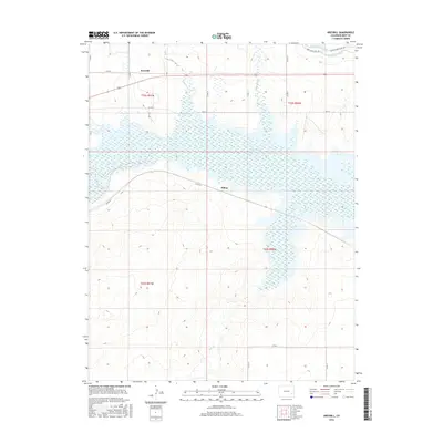
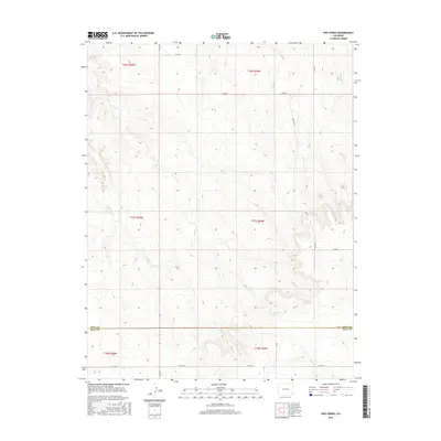
1893 Map of Higbee
USGS Topo · Published 1912About this map
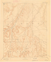
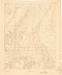
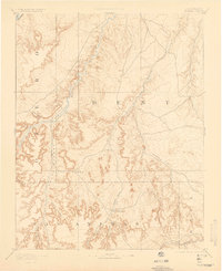
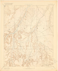
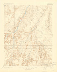
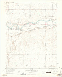
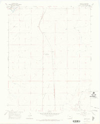
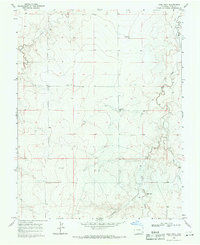
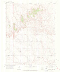
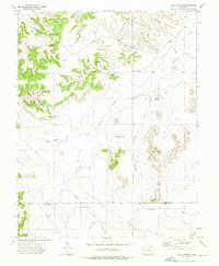
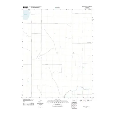
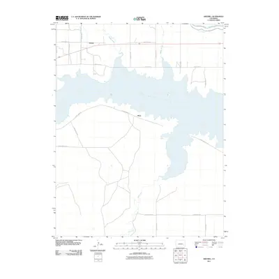
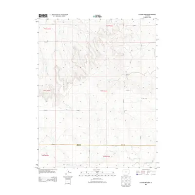
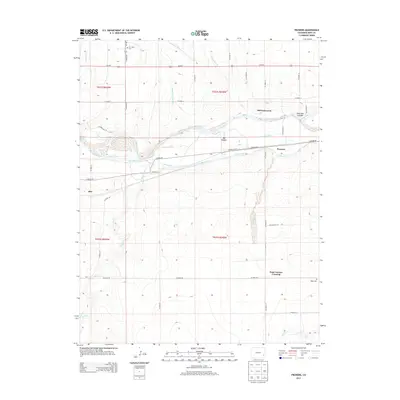
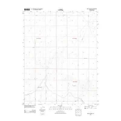
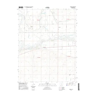
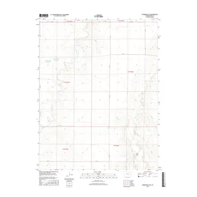
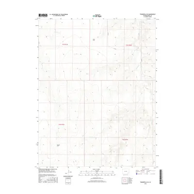
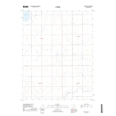
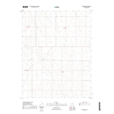
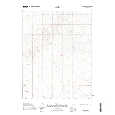
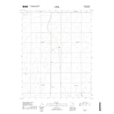
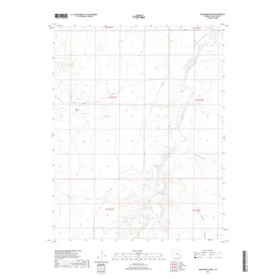
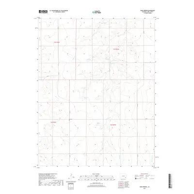
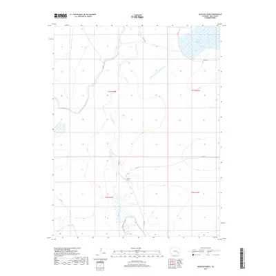
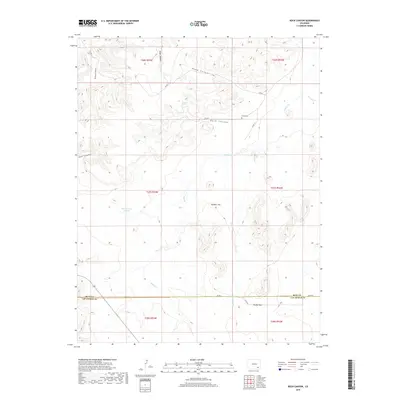
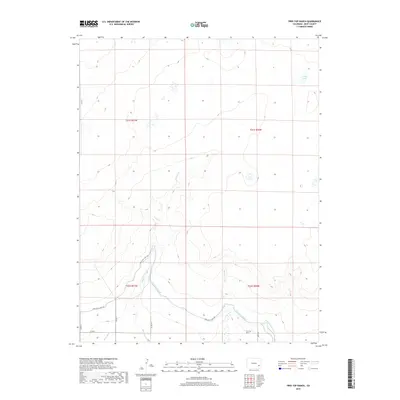
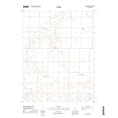
The Purgatoire River carves a winding path through the canyon-streaked plains of southeastern Colorado, where the borders of Otero, Bent, Las Animas, and Baca counties meet. This 1889 survey records a landscape defined by deep drainages and cattle ranching during the final years of the frontier era. The presence of the J. J. Ranch and the small settlement of Higbee reflect the sparse but established cattle industry that took root in these sheltered valleys. The terrain is dominated by a complex network of canyons, including Higbee Canyon, Smith Canyon, and Horse Canyon, which provided essential shelter and water access. Landmarks such as Muddy Gap and Alkali Springs served as vital navigation points for travelers and ranchers moving between the Arkansas River valley to the north and the high mesas to the south.
Find a feature on this map
18 named features on this map. Tap any name to fly to it.
Don’t see what you’re looking for? This feature index may not catch every label — zoom into the map to look around manually.
Map Details
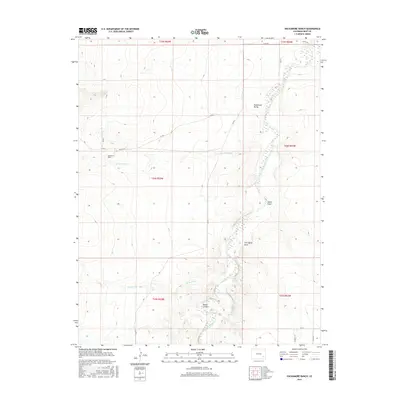
Editions of this 1893 Higbee Map
6 editions found

Historical Maps of Gilpin Through Time
136 maps found

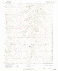
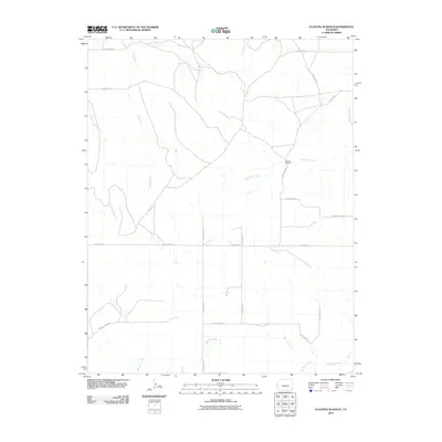
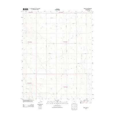
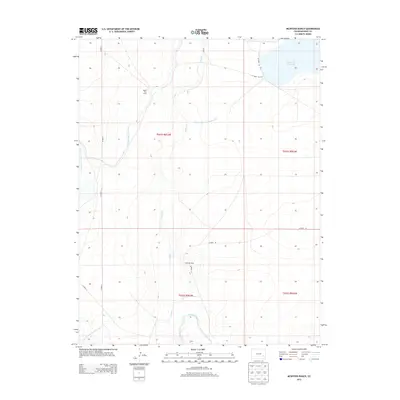
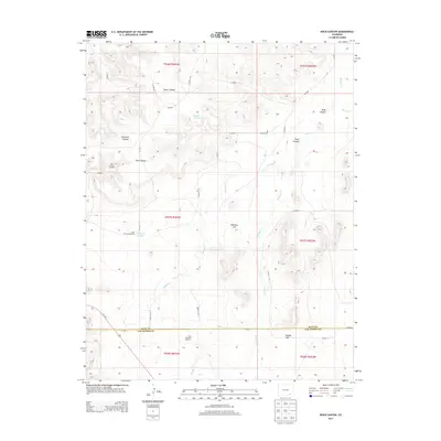
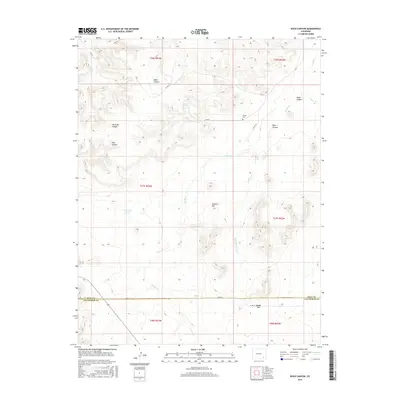
1891 Higbee
Bent County, CO

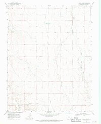
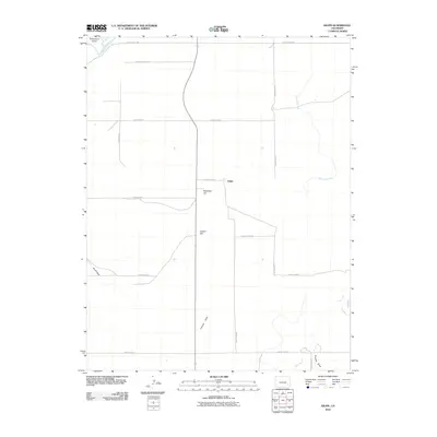
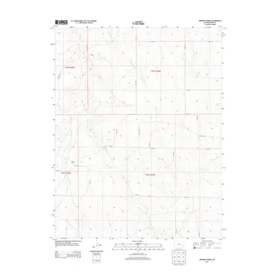
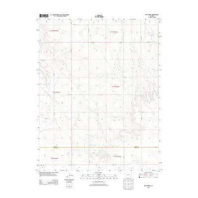
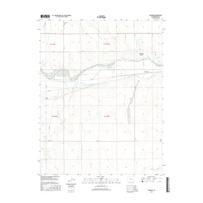
1892 Two Butte
Bent County, CO
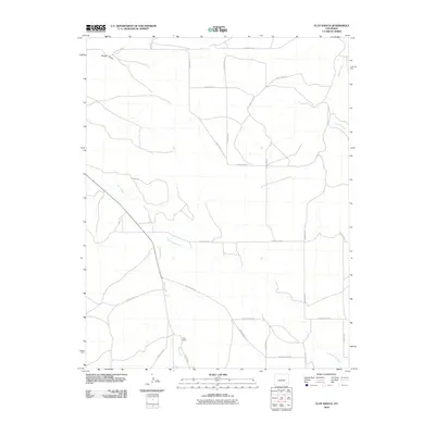
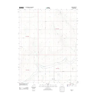
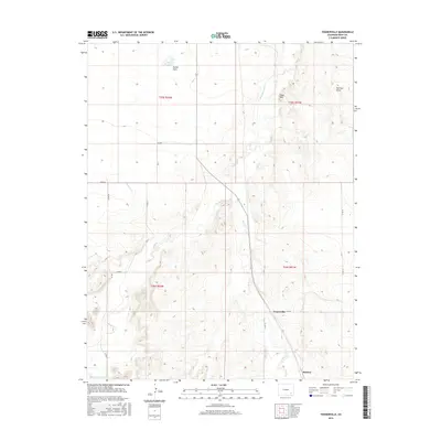
1893 Higbee
Bent County, CO
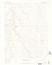
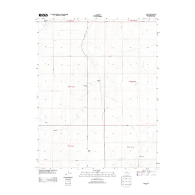
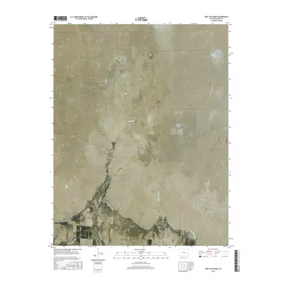
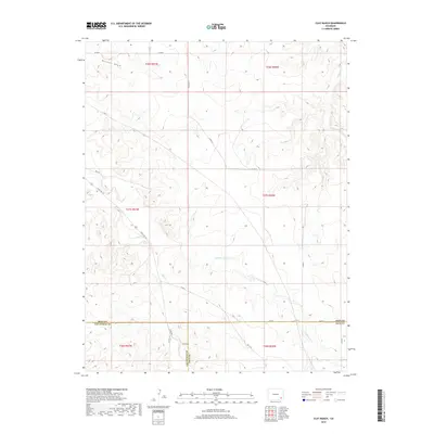
1893 Two Butte
Bent County, CO
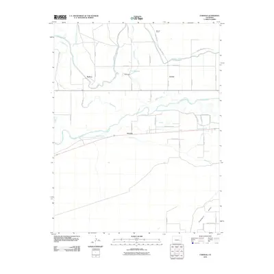
1953 Cornelia
Bent County, CO
1953 Kreybill
Bent County, CO
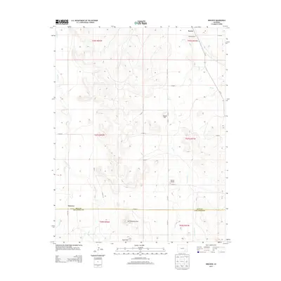
1953 Prowers
Bent County, CO
1955 Bishop Ranch
Bent County, CO
1955 Lubers
Bent County, CO
1955 Mc Intosh Ranch
Bent County, CO

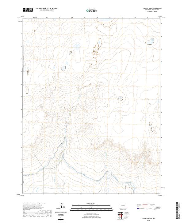
1955 Tree Top Ranch
Bent County, CO
1966 Gilpin
Bent County, CO

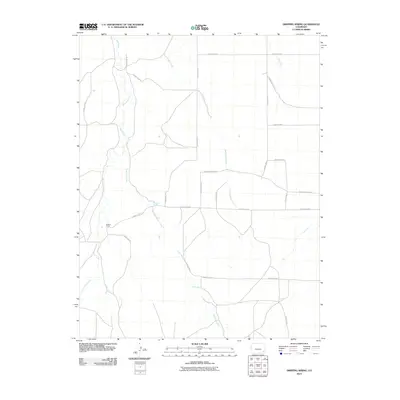
1966 Hackamore Ranch
Bent County, CO

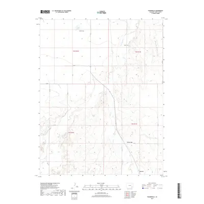
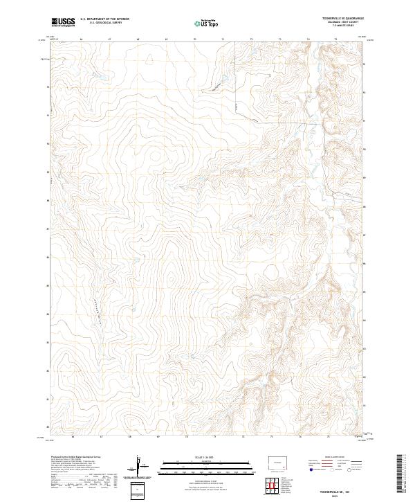
1966 Toonerville
Bent County, CO

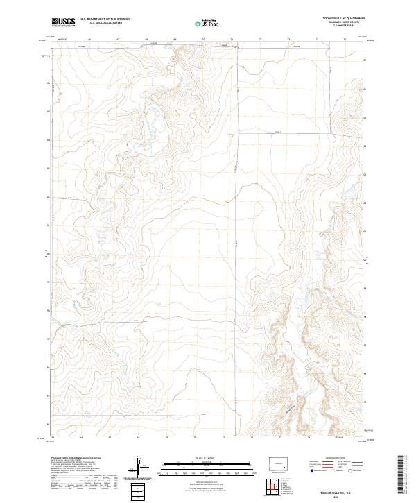
1966 Toonerville NE
Bent County, CO

1966 Toonerville SE
Bent County, CO

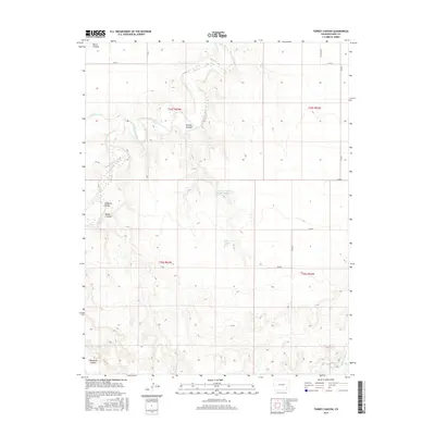
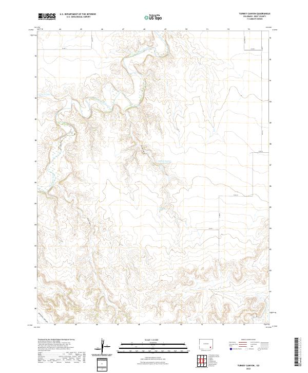
1966 Turkey Canyon
Bent County, CO
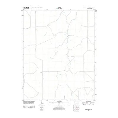
1967 Hand Springs
Bent County, CO
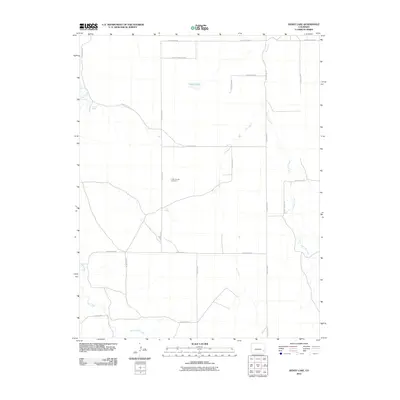
1968 Denny Lake
Bent County, CO
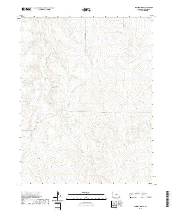
1968 Dripping Spring
Bent County, CO
1968 High Rock
Bent County, CO

1971 Clay Ranch
Bent County, CO
1971 Floating W Ranch
Bent County, CO

1971 Ninaview
Bent County, CO

1971 Pipe Spring
Bent County, CO
1972 Rock Canyon
Bent County, CO
2010 Bishop Ranch
Bent County, CO
2010 Clay Ranch
Bent County, CO
2010 Cornelia
Bent County, CO
2010 Denny Lake
Bent County, CO
2010 Dripping Spring
Bent County, CO
2010 Floating W Ranch
Bent County, CO
2010 Gilpin
Bent County, CO
2010 Hackamore Ranch
Bent County, CO
2010 Hand Springs
Bent County, CO
2010 High Rock
Bent County, CO
2010 Lubers
Bent County, CO
2010 McIntosh Ranch
Bent County, CO
2010 Ninaview
Bent County, CO
2010 Pipe Spring
Bent County, CO
2010 Prowers
Bent County, CO
2010 Rock Canyon
Bent County, CO
2010 Toonerville
Bent County, CO
2010 Toonerville NE
Bent County, CO
2010 Toonerville SE
Bent County, CO
2010 Tree Top Ranch
Bent County, CO
2010 Turkey Canyon
Bent County, CO
2011 Kreybill
Bent County, CO
2013 Bishop Ranch
Bent County, CO
2013 Clay Ranch
Bent County, CO
2013 Cornelia
Bent County, CO
2013 Denny Lake
Bent County, CO
2013 Dripping Spring
Bent County, CO
2013 Floating W Ranch
Bent County, CO
2013 Gilpin
Bent County, CO
2013 Hackamore Ranch
Bent County, CO
2013 Hand Springs
Bent County, CO
2013 High Rock
Bent County, CO
2013 Kreybill
Bent County, CO
2013 Lubers
Bent County, CO
2013 McIntosh Ranch
Bent County, CO
2013 Ninaview
Bent County, CO
2013 Pipe Spring
Bent County, CO
2013 Prowers
Bent County, CO
2013 Rock Canyon
Bent County, CO

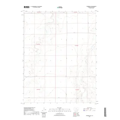
2013 Toonerville
Bent County, CO
2013 Toonerville NE
Bent County, CO
2013 Toonerville SE
Bent County, CO
2013 Tree Top Ranch
Bent County, CO
2013 Turkey Canyon
Bent County, CO
2016 Bishop Ranch
Bent County, CO
2016 Clay Ranch
Bent County, CO
2016 Cornelia
Bent County, CO
2016 Denny Lake
Bent County, CO
2016 Dripping Spring
Bent County, CO
2016 Floating W Ranch
Bent County, CO
2016 Gilpin
Bent County, CO
2016 Hackamore Ranch
Bent County, CO
2016 Hand Springs
Bent County, CO
2016 High Rock
Bent County, CO
2016 Kreybill
Bent County, CO
2016 Lubers
Bent County, CO
2016 McIntosh Ranch
Bent County, CO
2016 Ninaview
Bent County, CO
2016 Pipe Spring
Bent County, CO
2016 Prowers
Bent County, CO
2016 Rock Canyon
Bent County, CO
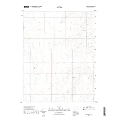
2016 Toonerville
Bent County, CO
2016 Toonerville NE
Bent County, CO
2016 Toonerville SE
Bent County, CO
2016 Tree Top Ranch
Bent County, CO
2016 Turkey Canyon
Bent County, CO
2019 Bishop Ranch
Bent County, CO
2019 Clay Ranch
Bent County, CO
2019 Cornelia
Bent County, CO
2019 Denny Lake
Bent County, CO
2019 Dripping Spring
Bent County, CO
2019 Floating W Ranch
Bent County, CO
2019 Gilpin
Bent County, CO
2019 Hackamore Ranch
Bent County, CO
2019 Hand Springs
Bent County, CO
2019 High Rock
Bent County, CO
2019 Kreybill
Bent County, CO
2019 Lubers
Bent County, CO
2019 McIntosh Ranch
Bent County, CO
2019 Ninaview
Bent County, CO
2019 Pipe Spring
Bent County, CO
2019 Prowers
Bent County, CO
2019 Rock Canyon
Bent County, CO
2019 Toonerville
Bent County, CO
2019 Toonerville NE
Bent County, CO
2019 Toonerville SE
Bent County, CO
2019 Tree Top Ranch
Bent County, CO
2019 Turkey Canyon
Bent County, CO
2022 Bishop Ranch
Bent County, CO

2022 Clay Ranch
Bent County, CO

2022 Cornelia
Bent County, CO
2022 Denny Lake
Bent County, CO
2022 Dripping Spring
Bent County, CO
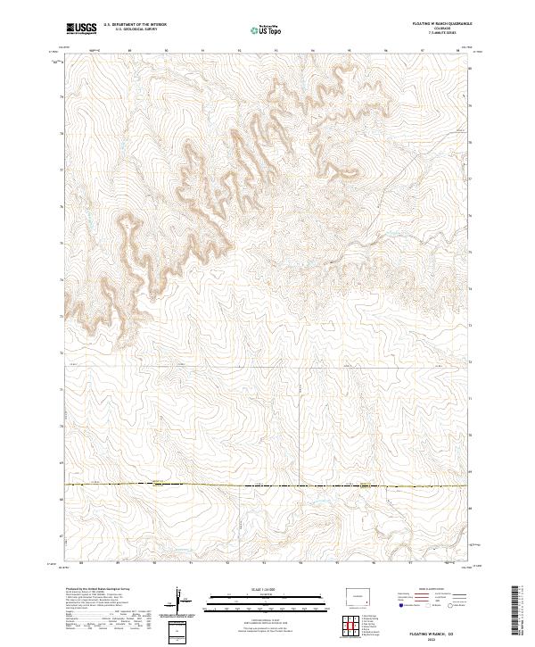
2022 Floating W Ranch
Bent County, CO

2022 Gilpin
Bent County, CO
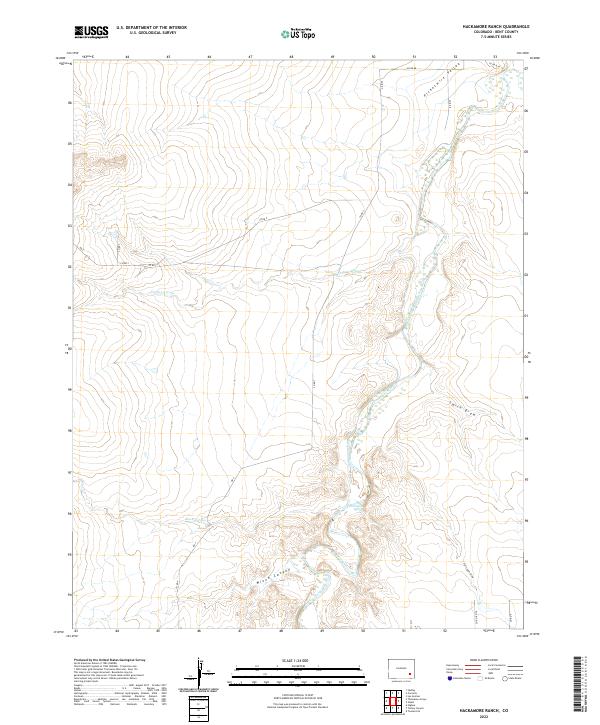
2022 Hackamore Ranch
Bent County, CO
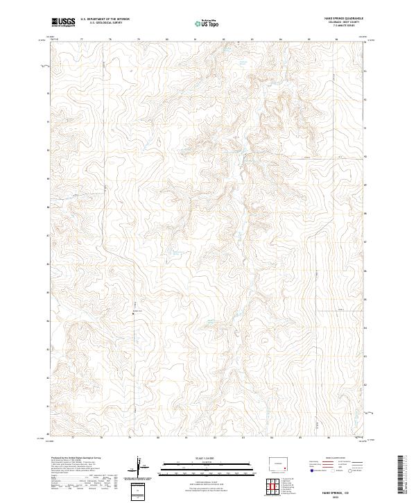
2022 Hand Springs
Bent County, CO
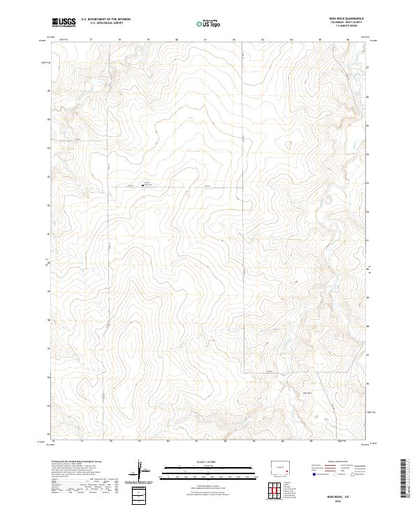
2022 High Rock
Bent County, CO
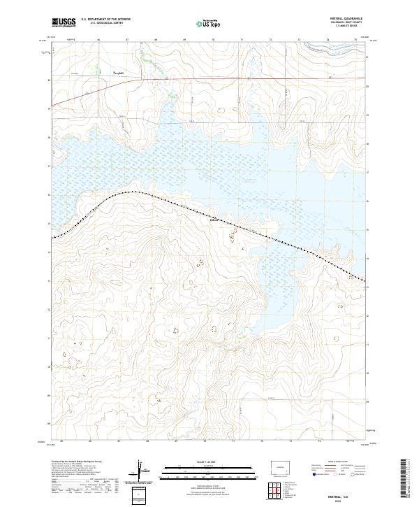
2022 Kreybill
Bent County, CO
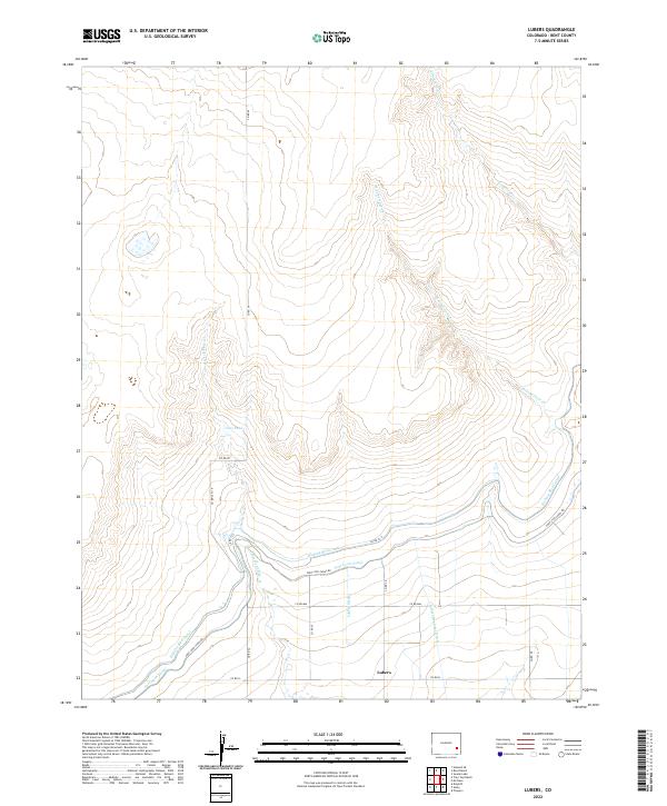
2022 Lubers
Bent County, CO
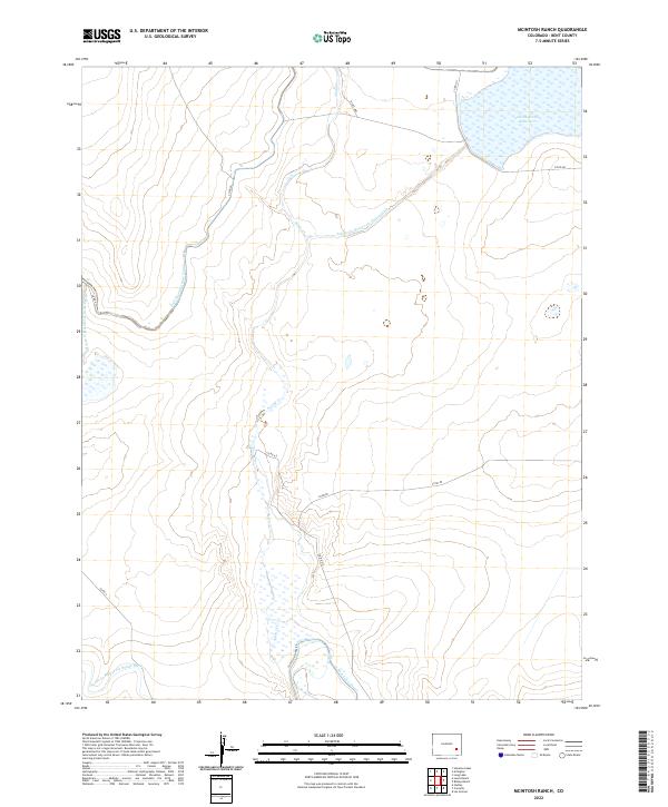
2022 McIntosh Ranch
Bent County, CO

2022 Ninaview
Bent County, CO
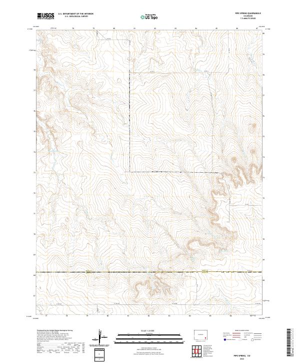
2022 Pipe Spring
Bent County, CO
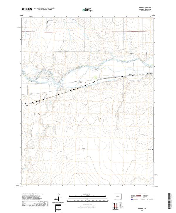
2022 Prowers
Bent County, CO
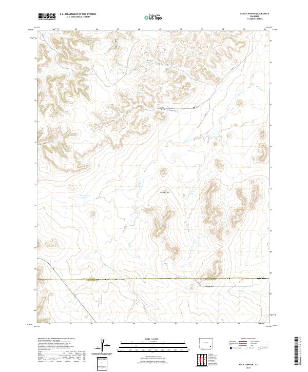
2022 Rock Canyon
Bent County, CO
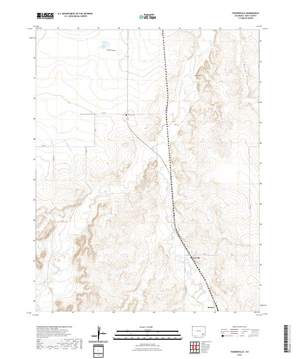
2022 Toonerville
Bent County, CO
2022 Toonerville NE
Bent County, CO
2022 Toonerville SE
Bent County, CO
2022 Tree Top Ranch
Bent County, CO
2022 Turkey Canyon
Bent County, CO