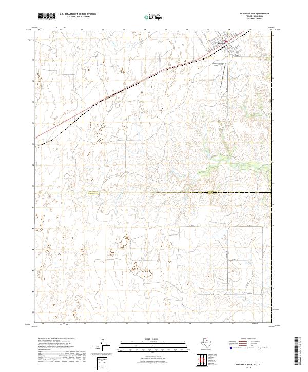
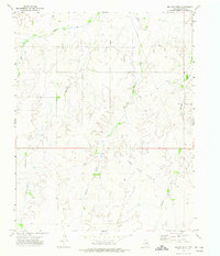
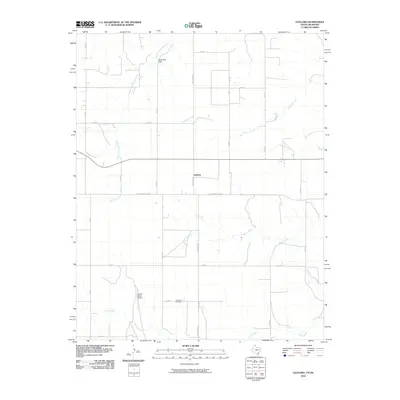
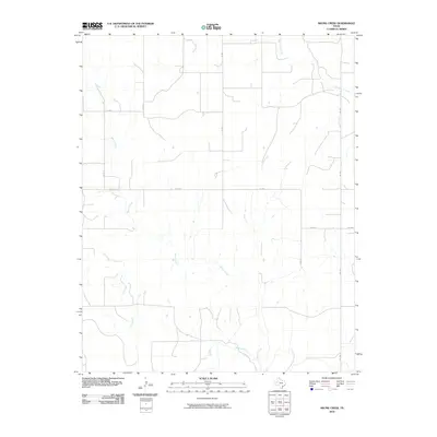
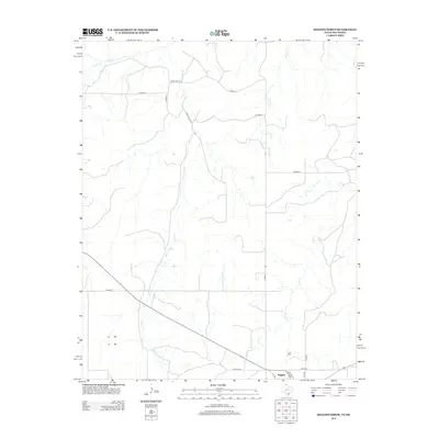
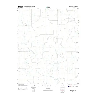
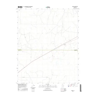
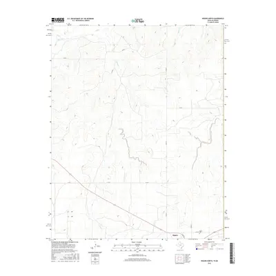
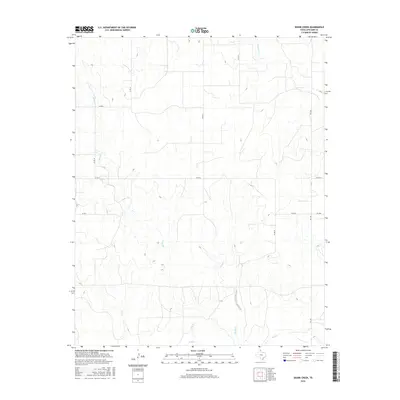
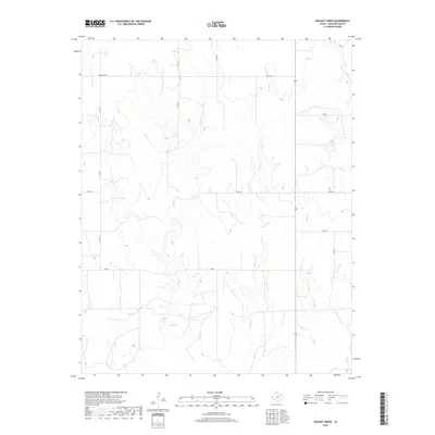
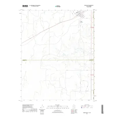
2022 Map of Higgins South
USGS Topo · Published 2022About this map
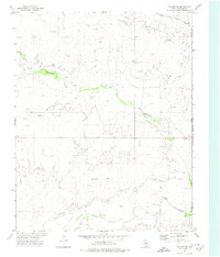
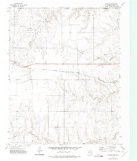
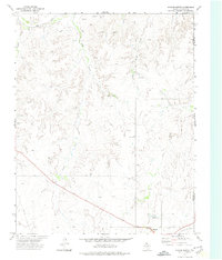
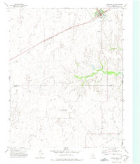
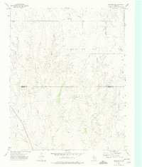
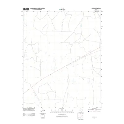
The town of Higgins occupies the northeastern corner of this landscape, situated just above the Lipscomb Co Hemphill Co boundary in the Texas Panhandle. A network of local roads including Commercial St, Liscomb St, and Gray St defines the community's grid, while the Higgins/Lipscomb County Airport serves the surrounding ranching region. The terrain is characterized by the winding drainages of Commission Cr and Camp Cr, which carve through the open plains and create a textured topography of draws and ridges. Beyond the town limits, the map reveals a system of rural routes such as Ranch Rd 2758 and Ranch Rd 1453 that facilitate movement across the cattle-ranching country of the northeast Texas borderlands.
Find a feature on this map
28 named features on this map. Tap any name to fly to it.
Don’t see what you’re looking for? This feature index may not catch every label — zoom into the map to look around manually.
Map Details
Editions of this 2022 Higgins South Map
This is the sole edition of this map. No revisions or reprints were ever made.
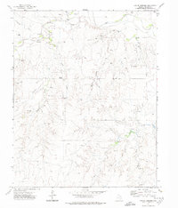
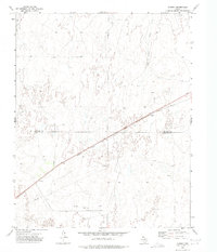
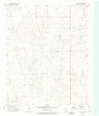
Historical Maps of Higgins Through Time
72 maps found
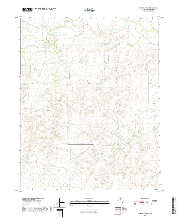
1972 Barton Corners
Lipscomb County, TX
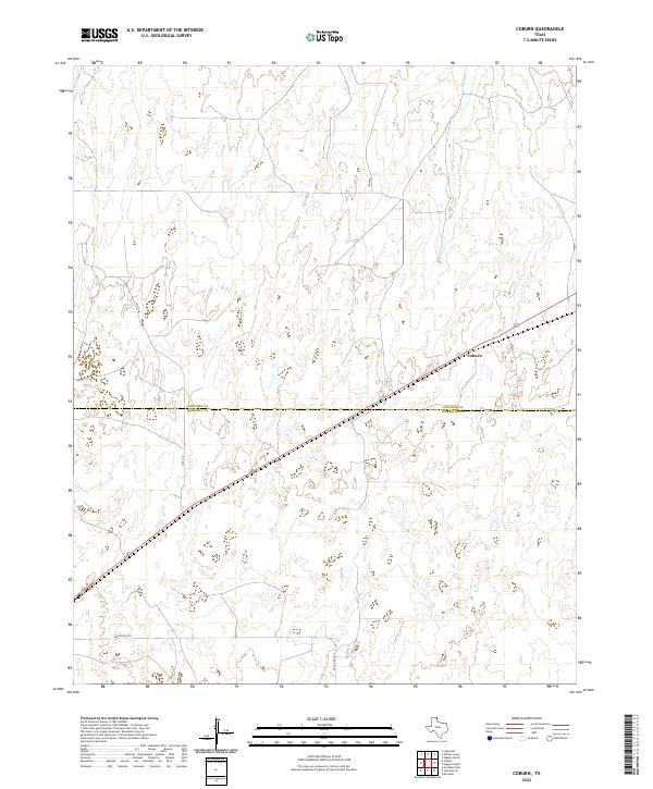
1972 Coburn
Lipscomb County, TX
1972 Dugout Creek
Lipscomb County, TX
1972 Follett SE
Lipscomb County, TX
1972 Gaylord
Lipscomb County, TX
1972 Higgins North
Lipscomb County, TX
1972 Higgins South
Lipscomb County, TX
1972 Lipscomb SW
Lipscomb County, TX
1972 Magoun
Lipscomb County, TX
1972 Skunk Creek
Lipscomb County, TX
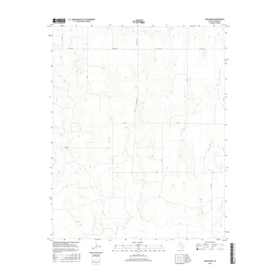
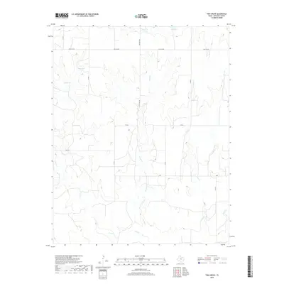
1972 Twin Grove
Lipscomb County, TX
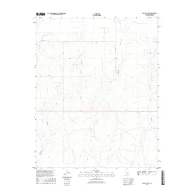
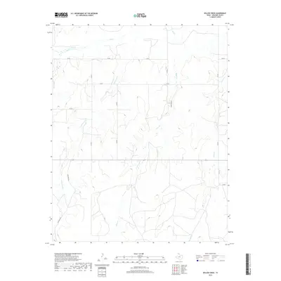
1972 Willow Creek
Lipscomb County, TX
2010 Barton Corners
Lipscomb County, TX

2010 Coburn
Lipscomb County, TX
2010 Dugout Creek
Lipscomb County, TX
2010 Follett SE
Lipscomb County, TX
2010 Gaylord
Lipscomb County, TX
2010 Higgins North
Lipscomb County, TX
2010 Higgins South
Lipscomb County, TX

2010 Lipscomb SW
Lipscomb County, TX
2010 Magoun
Lipscomb County, TX
2010 Skunk Creek
Lipscomb County, TX
2010 Twin Grove
Lipscomb County, TX
2010 Willow Creek
Lipscomb County, TX
2012 Barton Corners
Lipscomb County, TX
2012 Coburn
Lipscomb County, TX
2012 Dugout Creek
Lipscomb County, TX
2012 Follett SE
Lipscomb County, TX
2012 Gaylord
Lipscomb County, TX
2012 Higgins North
Lipscomb County, TX
2012 Higgins South
Lipscomb County, TX
2012 Lipscomb SW
Lipscomb County, TX
2012 Magoun
Lipscomb County, TX
2012 Skunk Creek
Lipscomb County, TX
2012 Twin Grove
Lipscomb County, TX
2012 Willow Creek
Lipscomb County, TX
2016 Barton Corners
Lipscomb County, TX
2016 Coburn
Lipscomb County, TX
2016 Dugout Creek
Lipscomb County, TX
2016 Follett SE
Lipscomb County, TX
2016 Gaylord
Lipscomb County, TX
2016 Higgins North
Lipscomb County, TX
2016 Higgins South
Lipscomb County, TX
2016 Lipscomb SW
Lipscomb County, TX
2016 Magoun
Lipscomb County, TX
2016 Skunk Creek
Lipscomb County, TX
2016 Twin Grove
Lipscomb County, TX
2016 Willow Creek
Lipscomb County, TX

2019 Barton Corners
Lipscomb County, TX
2019 Coburn
Lipscomb County, TX
2019 Dugout Creek
Lipscomb County, TX
2019 Follett SE
Lipscomb County, TX
2019 Gaylord
Lipscomb County, TX
2019 Higgins North
Lipscomb County, TX
2019 Higgins South
Lipscomb County, TX
2019 Lipscomb SW
Lipscomb County, TX
2019 Magoun
Lipscomb County, TX
2019 Skunk Creek
Lipscomb County, TX
2019 Twin Grove
Lipscomb County, TX
2019 Willow Creek
Lipscomb County, TX
2022 Barton Corners
Lipscomb County, TX
2022 Coburn
Lipscomb County, TX
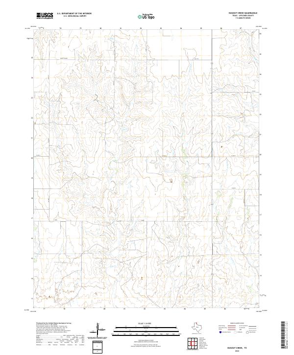
2022 Dugout Creek
Lipscomb County, TX
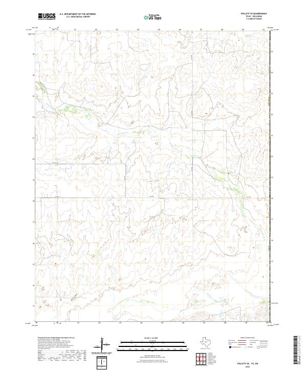
2022 Follett SE
Lipscomb County, TX
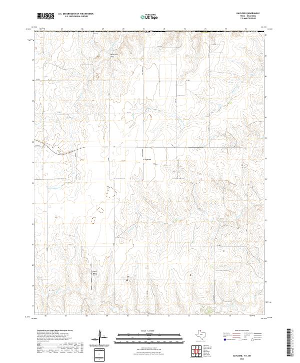
2022 Gaylord
Lipscomb County, TX
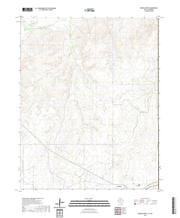
2022 Higgins North
Lipscomb County, TX
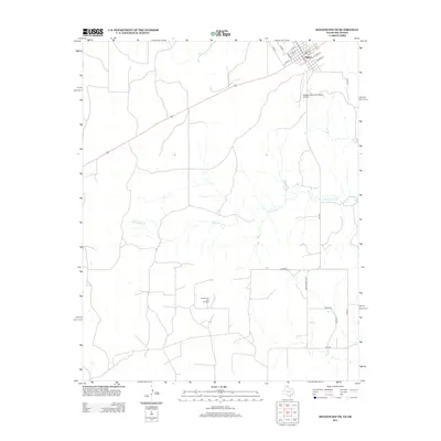
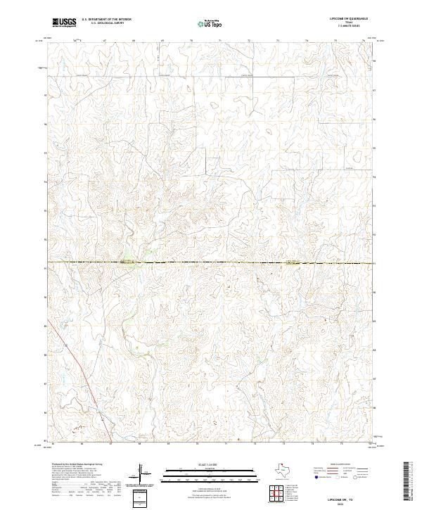
2022 Higgins South
Lipscomb County, TX
2022 Lipscomb SW
Lipscomb County, TX
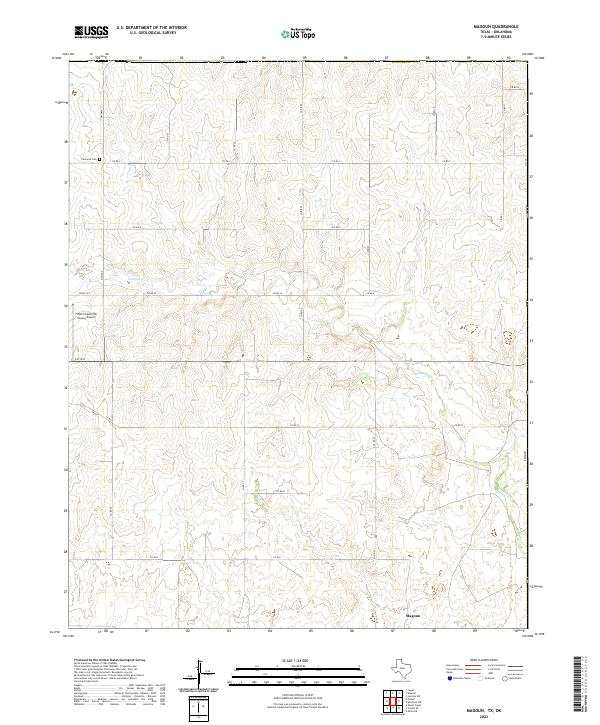
2022 Magoun
Lipscomb County, TX
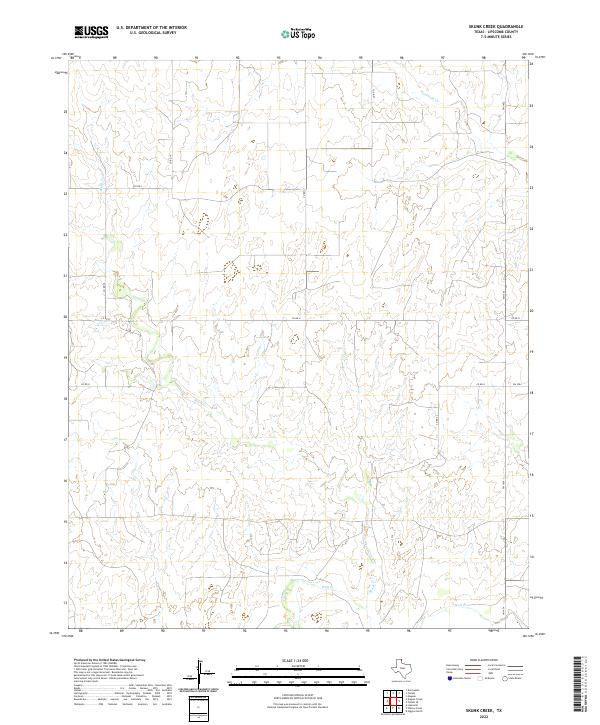
2022 Skunk Creek
Lipscomb County, TX
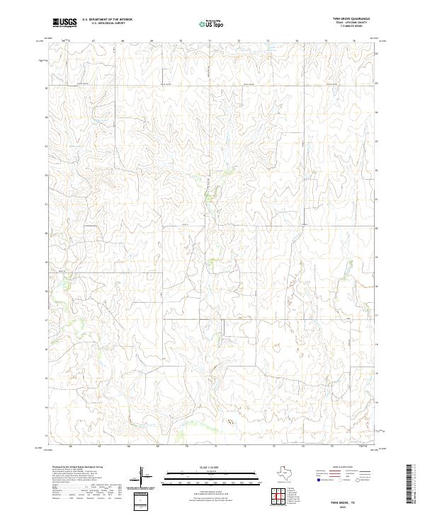
2022 Twin Grove
Lipscomb County, TX
2022 Willow Creek
Lipscomb County, TX