
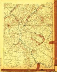
1898 Map of High Bridge
USGS Topo · Published 1898About this map
The ridge-and-valley topography of western New Jersey is dominated here by the distinctive horse-shoe curve of Cushetunk Mountain, encircling a broad valley floor. This 1898 edition reflects a landscape shaped by early industrial transportation, where the Central Railroad of New Jersey and the Lehigh Valley Railroad converged to serve iron-rich settlements and mills. The eponymous High Bridge stands at a critical junction, while the South Branch of Raritan River and Musconetcong River define the natural drainage patterns that guided the placement of villages like Readingsburg and Glen Gardner.
Find a feature on this map
90 named features on this map. Tap any name to fly to it.
Don’t see what you’re looking for? This feature index may not catch every label — zoom into the map to look around manually.
Map Details
Editions of this 1898 High Bridge Map
2 editions found
Other maps of this area

1888 · Hackettstown
USGS Topo · 1:62,500

1888 · Princeton
USGS Topo · 1:62,500

1888 · Lake Hopatcong
USGS Topo · 1:62,500

1890 · Easton
USGS Topo · 1:62,500

1890 · High Bridge
USGS Topo · 1:62,500

1890 · Lambertville
USGS Topo · 1:62,500

1890 · Doylestown
USGS Topo · 1:62,500

1891 · Somerville
USGS Topo · 1:62,500

1891 · Easton
USGS Topo · 1:62,500

1891 · Lambertville
USGS Topo · 1:62,500