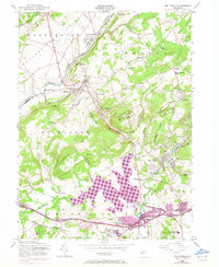
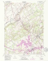
1954 Map of High Bridge
USGS Topo · Published 1972About this map
Spruce Run Reservoir dominates the central landscape of this Hunterdon County quadrangle, highlighting the mid-20th-century transformation of the northern New Jersey watershed. The industrial and institutional character of the era is evident through landmarks like the State Sanatorium atop Mount Kipp and the State Reformatory near Clinton. The transit corridor is defined by the dual presence of the Central Railroad of New Jersey and the Lehigh Valley Railroad, which fueled the growth of settlements like High Bridge and Annandale. Along the Raritan River, smaller historic details like the Stone Mill and Lake Solitude sit near the branching tracks, while numerous family and community burial grounds, including Riverside Cem and Evergreen Cem, offer valuable data for local genealogists tracing the area's rural-to-suburban evolution.
Find a feature on this map
103 named features on this map. Tap any name to fly to it.
Don’t see what you’re looking for? This feature index may not catch every label — zoom into the map to look around manually.
Map Details
Editions of this 1954 High Bridge Map
5 editions found
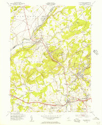
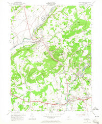
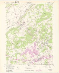
Other maps of this area

1888 · Hackettstown
USGS Topo · 1:62,500

1890 · Easton
USGS Topo · 1:62,500

1890 · High Bridge
USGS Topo · 1:62,500

1891 · Easton
USGS Topo · 1:62,500

1891 · Delaware Water Gap
USGS Topo · 1:62,500

1893 · Delaware Water Gap
USGS Topo · 1:62,500

1894 · Hackettstown
USGS Topo · 1:62,500

1898 · Hackettstown
USGS Topo · 1:62,500

1898 · High Bridge
USGS Topo · 1:62,500

1900 · Raritan
USGS Topo · 1:125,000