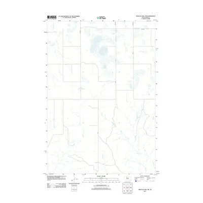
2012 Map of High Elk Hill NW
USGS Topo · Published 2012About this map
Little Bear Cr flows through the northwestern corner of this territory in District 4, South Dakota, defining a landscape marked by intermittent watercourses and a network of county roads. The drainage patterns of Rudy Cr and Dupree Cr dominate the southern half of the sheet, where several unnamed small ponds and wetlands gather. This 2012 survey illustrates the modern rural infrastructure of the region, anchored by the intersection of Co Hwy-23 and Co Hwy-22. While the terrain is largely defined by these natural drainages, the grid of Co Rd routes indicates the distributed ranching or agricultural divisions typical of this part of the state. The map serves as a precise record of the hydrography and road system in the early 21st century.
Find a feature on this map
8 named features on this map. Tap any name to fly to it.
Don’t see what you’re looking for? This feature index may not catch every label — zoom into the map to look around manually.
Map Details
Editions of this 2012 High Elk Hill NW Map
This is the sole edition of this map. No revisions or reprints were ever made.
Other maps of this area

1953 · McIntosh
USGS Topo · 1:250,000

1954 · Pierre
USGS Topo · 1:250,000

1958 · Pierre
USGS Topo · 1:250,000

1958 · McIntosh
USGS Topo · 1:250,000
1979 · Dupree
USGS Topo · 1:25,000
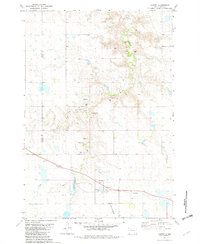
1981 · Lantry
USGS Topo · 1:24,000
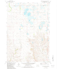
1981 · High Elk Hill NW
USGS Topo · 1:24,000
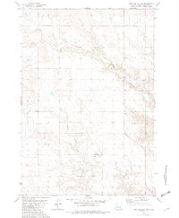
1981 · High Elk Hill SE
USGS Topo · 1:24,000
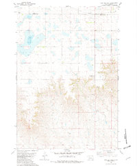
1981 · High Elk Hill
USGS Topo · 1:24,000
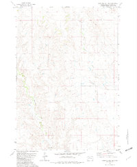
1981 · High Elk Hill SW
USGS Topo · 1:24,000