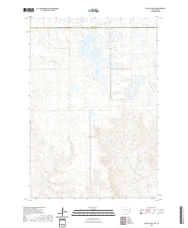
2021 Map of High Elk Hill NW
USGS Topo · Published 2021About this map
The rolling grasslands of Ziebach County and Dewey County are meticulously mapped in this recent survey, showcasing a landscape shaped by intermittent watercourses and rural corridors. The northern portion of the quadrangle is defined by a series of shallow wetlands and ponds, providing a distinct contrast to the more uniform terrain of the southern sections. This area remains sparsely settled, with the land divided into the traditional township and range grid, including Township 12 North, Range 22 East.
Find a feature on this map
15 named features on this map. Tap any name to fly to it.
Don’t see what you’re looking for? This feature index may not catch every label — zoom into the map to look around manually.
Map Details
Editions of this 2021 High Elk Hill NW Map
This is the sole edition of this map. No revisions or reprints were ever made.
Other maps of this area

1953 · McIntosh
USGS Topo · 1:250,000

1954 · Pierre
USGS Topo · 1:250,000

1958 · Pierre
USGS Topo · 1:250,000

1958 · McIntosh
USGS Topo · 1:250,000

1979 · Dupree
USGS Topo · 1:25,000

1981 · Lantry
USGS Topo · 1:24,000

1981 · High Elk Hill NW
USGS Topo · 1:24,000

1981 · High Elk Hill SE
USGS Topo · 1:24,000
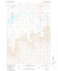
1981 · High Elk Hill
USGS Topo · 1:24,000

1981 · High Elk Hill SW
USGS Topo · 1:24,000