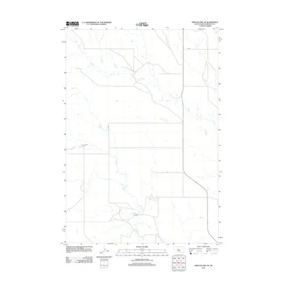
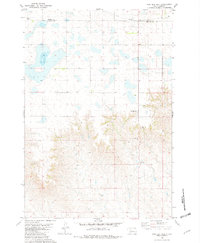
2012 Map of High Elk Hill SE
USGS Topo · Published 2012About this map
Keller Ranch and Hunt Ranch anchor this West River landscape in Ziebach County, illustrating the enduring ranching culture of South Dakota's western plains. The terrain is defined by the wandering drainages of Rudy Cr in the north and Dupree Cr which cuts through the southern portion of the quadrangle. These seasonal watercourses provide the primary relief in an area of high prairie, where human activity is marked by scattered homesteads and the thin lines of Cord roads that connect them across the section lines. This 2012 survey captures a rural environment that has remained largely unchanged in its spatial layout for generations, centered on livestock operations and the vital, sparse water sources that sustain them.
Find a feature on this map
5 named features on this map. Tap any name to fly to it.
Don’t see what you’re looking for? This feature index may not catch every label — zoom into the map to look around manually.
Map Details
Editions of this 2012 High Elk Hill SE Map
This is the sole edition of this map. No revisions or reprints were ever made.
Other maps of this area

1954 · Pierre
USGS Topo · 1:250,000
1956 · Cherry Creek NW
USGS Topo · 1:24,000
1956 · Carlin Flat
USGS Topo · 1:24,000
1956 · Alleman Station
USGS Topo · 1:24,000

1958 · Pierre
USGS Topo · 1:250,000
1981 · Herbert Creek
USGS Topo · 1:24,000
1981 · Herbert Creek SW
USGS Topo · 1:24,000
1981 · High Elk Hill NW
USGS Topo · 1:24,000
1981 · High Elk Hill SE
USGS Topo · 1:24,000
1981 · High Elk Hill
USGS Topo · 1:24,000