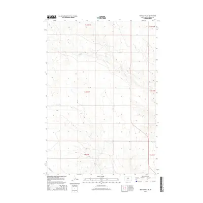
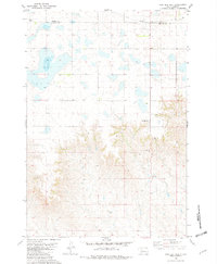
2015 Map of High Elk Hill SE
USGS Topo · Published 2015About this map
Rudy Cr and Dupree Cr define the drainage patterns of this rural South Dakota landscape, located within the Ziebach County region. The terrain is characterized by a series of draws and ridges, including the notable Carolyn Draw Cir in the southwestern corner. This area remains largely undeveloped, defined by a sparse grid of local roads and Public Land Survey System boundaries spanning several townships, including t10n r23e and t11n r24e. The map highlights the vast, open nature of the High Elk Hill vicinity, where land use is primarily shaped by the natural topography of the creek basins rather than dense settlement.
Find a feature on this map
10 named features on this map. Tap any name to fly to it.
Don’t see what you’re looking for? This feature index may not catch every label — zoom into the map to look around manually.
Map Details
Editions of this 2015 High Elk Hill SE Map
This is the sole edition of this map. No revisions or reprints were ever made.
Other maps of this area

1954 · Pierre
USGS Topo · 1:250,000
1956 · Cherry Creek NW
USGS Topo · 1:24,000
1956 · Carlin Flat
USGS Topo · 1:24,000
1956 · Alleman Station
USGS Topo · 1:24,000

1958 · Pierre
USGS Topo · 1:250,000
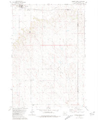
1981 · Herbert Creek
USGS Topo · 1:24,000
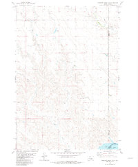
1981 · Herbert Creek SW
USGS Topo · 1:24,000
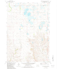
1981 · High Elk Hill NW
USGS Topo · 1:24,000
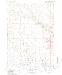
1981 · High Elk Hill SE
USGS Topo · 1:24,000
1981 · High Elk Hill
USGS Topo · 1:24,000