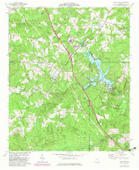
1973 Map of High Falls
USGS Topo · Published 1983About this map
High Falls Lake serves as the focal point of this region, where the Towaliga River is impounded just before it reaches the cascades of High Falls. The landscape is defined by the intersection of Butts, Lamar, and Monroe counties, a rural area transitioning during the early 1970s with the development of High Falls State Park. The map documents a mix of institutional and recreational land use, featuring the State Dept of Corrections Diagnostic Center and nearby facilities like a Landing Strip and Sewage Disposal Ponds.
Find a feature on this map
42 named features on this map. Tap any name to fly to it.
Don’t see what you’re looking for? This feature index may not catch every label — zoom into the map to look around manually.
Map Details
Editions of this 1973 High Falls Map
2 editions found
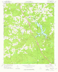
Other maps of this area

1951 · Forsyth
USGS Topo · 1:62,500

1951 · Barnesville
USGS Topo · 1:62,500

1953 · Atlanta
USGS Topo · 1:250,000

1953 · Athens
USGS Topo · 1:250,000

1957 · Atlanta
USGS Topo · 1:250,000

1958 · Athens
USGS Topo · 1:250,000

1958 · Atlanta
USGS Topo · 1:250,000

1959 · Athens
USGS Topo · 1:250,000

1963 · Athens
USGS Topo · 1:250,000

1964 · Luella
USGS Topo · 1:24,000