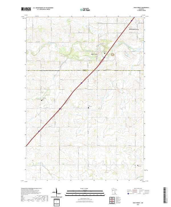
2022 Map of High Forest
USGS Topo · Published 2022About this map
Stewartville and the village of High Forest anchor this landscape along the border of Olmsted and Mower counties. The area is defined by the drainage of the North Branch Root River and its various tributaries including Robinson Cr and Carey Cr. This modern survey reveals a dense network of rural roads such as Robinson Creek Rd SW and Mower Olmsted Rd, reflecting the long-established agricultural grid of the region.
Find a feature on this map
69 named features on this map. Tap any name to fly to it.
Don’t see what you’re looking for? This feature index may not catch every label — zoom into the map to look around manually.
Map Details
Editions of this 2022 High Forest Map
This is the sole edition of this map. No revisions or reprints were ever made.
Other maps of this area

1954 · Mason City
USGS Topo · 1:250,000

1955 · Stewartville
USGS Topo · 1:62,500

1955 · High Forest
USGS Topo · 1:62,500

1957 · Mason City
USGS Topo · 1:250,000

1958 · Mason City
USGS Topo · 1:250,000

1965 · Dexter
USGS Topo · 1:24,000

1965 · Spring Valley
USGS Topo · 1:24,000

1965 · Grand Meadow
USGS Topo · 1:24,000
1974 · Rock Dell
USGS Topo · 1:24,000
1974 · High Forest
USGS Topo · 1:24,000