
1931 Map of High Island
USGS Topo · Published 1931About this map
The coastal salt domes and marshlands of Chambers and Galveston counties are documented here in 1931, based on early aerial photographs taken by the Army Air Corps. The settlement of High Island rises above the surrounding terrain, anchored by the High Island Hotel and served by the Gulf and Colorado Santa Fe railroad line. The map illustrates a landscape dominated by water and shifting coastlines, where the Gulf of Mexico meets the expansive East Bay at the narrow peninsula near Rollover.
Find a feature on this map
15 named features on this map. Tap any name to fly to it.
Don’t see what you’re looking for? This feature index may not catch every label — zoom into the map to look around manually.
Map Details
Editions of this 1931 High Island Map
This is the sole edition of this map. No revisions or reprints were ever made.
Other maps of this area

1931 · Frozen Point
USGS Topo · 1:24,000

1933 · Frozen Point
USGS Topo · 1:31,680

1933 · Caplen
USGS Topo · 1:31,680

1943 · High Island
USGS Topo · 1:31,680

1943 · Frozen Point
USGS Topo · 1:24,000
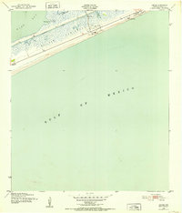
1943 · Caplen
USGS Topo · 1:24,000

1943 · Sea Breeze
USGS Topo · 1:24,000

1945 · Sea Breeze
USGS Topo · 1:31,680

1950 · Houston
USGS Topo · 1:250,000
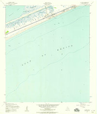
1954 · Caplen
USGS Topo · 1:24,000