
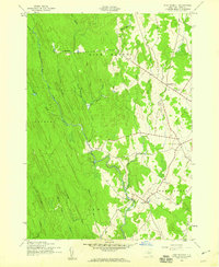
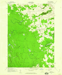
1943 Map of High Market
USGS Topo · Published 1960About this map
Michigan Mills and the surrounding woodlands of Lewis County define this wartime landscape, documented during a 1943 field check. The area is characterized by an intricate drainage system feeding into the East Branch Fish Creek and the East Fork Salmon River. Small rural hubs like High Market and Byron Corners serve as the primary points of settlement, connected by a network of light-duty and unimproved dirt roads that traverse the varying elevations.
Find a feature on this map
24 named features on this map. Tap any name to fly to it.
Don’t see what you’re looking for? This feature index may not catch every label — zoom into the map to look around manually.
Map Details
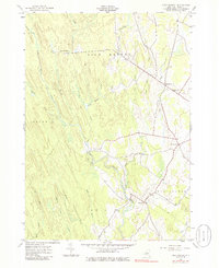
Editions of this 1943 High Market Map
Other maps of this area

1904 · Boonville
USGS Topo · 1:62,500

1905 · Port Leyden
USGS Topo · 1:62,500

1905 · Taberg
USGS Topo · 1:62,500

1906 · Highmarket
USGS Topo · 1:62,500

1907 · Port Leyden
USGS Topo · 1:62,500

1940 · Port Leyden
USGS Topo · 1:62,500

1943 · East Florence
USGS Topo · 1:31,680
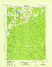
1943 · Sears Pond
USGS Topo · 1:31,680
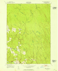
1943 · North Osceola
USGS Topo · 1:24,000
1943 · Page
USGS Topo · 1:24,000