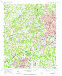
1969 Map of High Point West
USGS Topo · Published 1973About this map
High Point and Thomasville define the industrial and residential core of this Piedmont landscape, shown here just before the era of major suburban expansion. The terrain is defined by the headwaters of the Uwharrie River and its tributaries, including Abbotts Creek and Rich Fork, which provide the drainage for the area's rolling hills. This map illustrates the transition from urban centers to rural farmland, punctuated by small community landmarks such as Zion Ch and the Little White Ch.
Find a feature on this map
49 named features on this map. Tap any name to fly to it.
Don’t see what you’re looking for? This feature index may not catch every label — zoom into the map to look around manually.
Map Details
Editions of this 1969 High Point West Map
2 editions found
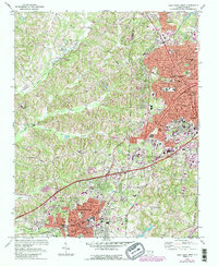
Other maps of this area

1949 · Eller
USGS Topo · 1:24,000

1949 · High Point West
USGS Topo · 1:24,000

1950 · High Point East
USGS Topo · 1:24,000

1950 · Lexington East
USGS Topo · 1:24,000

1950 · Winston-Salem East
USGS Topo · 1:24,000

1951 · Winston-Salem East
USGS Topo · 1:24,000

1951 · Lexington East
USGS Topo · 1:24,000

1951 · High Point East
USGS Topo · 1:24,000

1951 · Guilford
USGS Topo · 1:24,000

1951 · Fair Grove
USGS Topo · 1:24,000