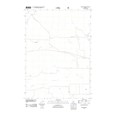
2011 Map of High Prairie
USGS Topo · Published 2011About this map
High Prairie sits atop a high plateau in Elmore County, where a network of watercourses and rural roads defines the landscape of the early 21st century. The Malad River and Camas Creek flow across the southern half of the quadrangle, which is also marked by several small water management features like Francis Dam and Olson Dam. These structures, alongside Moores Spring and the drainage of Hall Gulch, reflect the critical role of water in this high-elevation Idaho environment.
Find a feature on this map
18 named features on this map. Tap any name to fly to it.
Don’t see what you’re looking for? This feature index may not catch every label — zoom into the map to look around manually.
Map Details
Editions of this 2011 High Prairie Map
This is the sole edition of this map. No revisions or reprints were ever made.
Other maps of this area
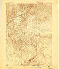
1892 · Camas Prairie
USGS Topo · 1:125,000
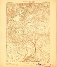
1893 · Camas Prairie
USGS Topo · 1:125,000

1955 · Hailey
USGS Topo · 1:250,000
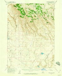
1958 · Bennett Mtn
USGS Topo · 1:62,500
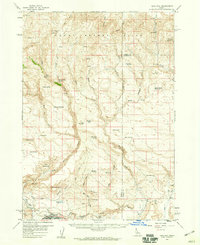
1958 · King Hill
USGS Topo · 1:62,500

1959 · Hailey
USGS Topo · 1:250,000

1962 · Hailey
USGS Topo · 1:250,000
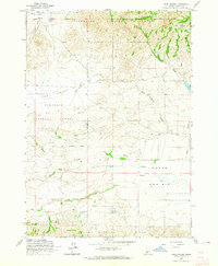
1963 · High Prairie
USGS Topo · 1:24,000
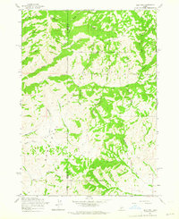
1963 · Deer Mountain
USGS Topo · 1:24,000
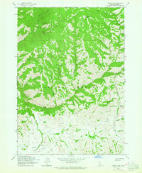
1963 · Sprout Mtn
USGS Topo · 1:24,000