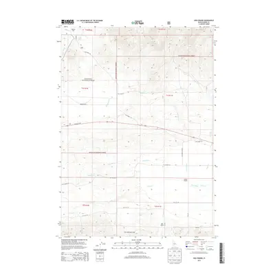
2013 Map of High Prairie
USGS Topo · Published 2013About this map
High Prairie sits at the center of this 2013 survey of Elmore County, where the southern reaches of the Sawtooth National Forest descend into the broad expanse of the Camas Prairie. This landscape is defined by the transition from high timber and mountain terrain to the alluvial plains of the Malad River and its tributaries. The map documents a sparsely populated but vital agricultural and ranching corridor, traced by a network of rural routes such as Hill City Rd and Sun Valley Hwy.
Find a feature on this map
25 named features on this map. Tap any name to fly to it.
Don’t see what you’re looking for? This feature index may not catch every label — zoom into the map to look around manually.
Map Details
Editions of this 2013 High Prairie Map
This is the sole edition of this map. No revisions or reprints were ever made.
Other maps of this area
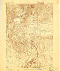
1892 · Camas Prairie
USGS Topo · 1:125,000
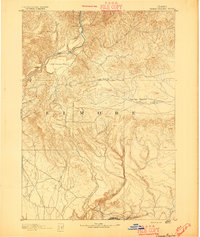
1893 · Camas Prairie
USGS Topo · 1:125,000

1955 · Hailey
USGS Topo · 1:250,000
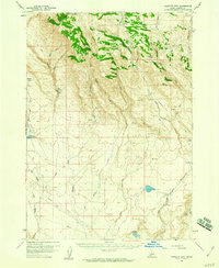
1958 · Bennett Mtn
USGS Topo · 1:62,500
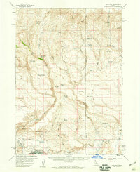
1958 · King Hill
USGS Topo · 1:62,500

1959 · Hailey
USGS Topo · 1:250,000

1962 · Hailey
USGS Topo · 1:250,000
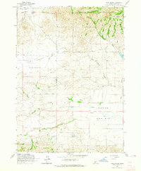
1963 · High Prairie
USGS Topo · 1:24,000
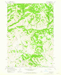
1963 · Deer Mountain
USGS Topo · 1:24,000
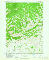
1963 · Sprout Mtn
USGS Topo · 1:24,000