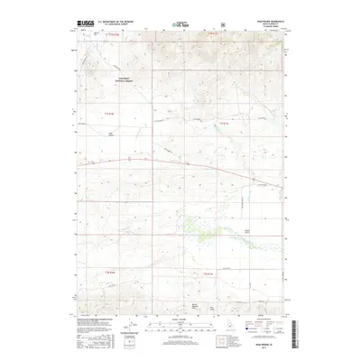
2017 Map of High Prairie
USGS Topo · Published 2017About this map
High Prairie and Moores Flat sit atop a high plateau in Elmore County, where the southern boundary of the Sawtooth National Forest meets the northern edge of the Mount Bennett Hills. This high-altitude landscape is defined by the headwaters of several drainages, including Wild Horse Cr and Negro Cr, which flow south toward the Camas Prairie. The southern portion of the map reveals the meandering courses of the Malad River and Camas Cr, illustrating the complex hydrology of this transitional zone between forest and steppe. Traces of local infrastructure, such as Co Line School Rd and the high-elevation High Prairie Rd, indicate the historical importance of access routes for ranching and forest management in this sparsely populated interior of Idaho.
Find a feature on this map
29 named features on this map. Tap any name to fly to it.
Don’t see what you’re looking for? This feature index may not catch every label — zoom into the map to look around manually.
Map Details
Editions of this 2017 High Prairie Map
This is the sole edition of this map. No revisions or reprints were ever made.
Other maps of this area
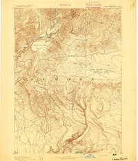
1892 · Camas Prairie
USGS Topo · 1:125,000
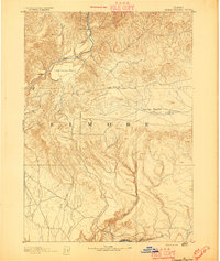
1893 · Camas Prairie
USGS Topo · 1:125,000

1955 · Hailey
USGS Topo · 1:250,000
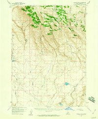
1958 · Bennett Mtn
USGS Topo · 1:62,500
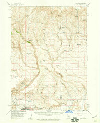
1958 · King Hill
USGS Topo · 1:62,500

1959 · Hailey
USGS Topo · 1:250,000

1962 · Hailey
USGS Topo · 1:250,000
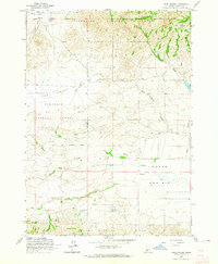
1963 · High Prairie
USGS Topo · 1:24,000
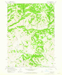
1963 · Deer Mountain
USGS Topo · 1:24,000
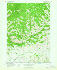
1963 · Sprout Mtn
USGS Topo · 1:24,000