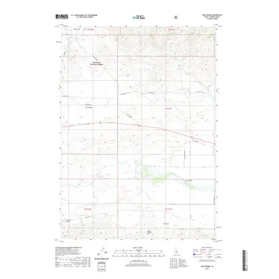
2020 Map of High Prairie
USGS Topo · Published 2020About this map
High Prairie sits on a plateau in Elmore County, where the southern boundary of the Sawtooth National Forest meets the open rangeland of the Mount Bennett Hills. This 2020 record of the landscape reveals a region defined by water management and transit through the high desert, with the Malad River and Camas Cr carving paths through the southern terrain. The area is marked by historic land divisions and remote infrastructure, including the S Bar Ranch Airport and the seasonal flows of Moores Spring at Moores Flat. A network of local roads like High Prairie Rd and Co Line School Rd connects the scattered homesteads and ranches, providing a look at modern Idaho land use where public forest land transitions into private holdings.
Find a feature on this map
29 named features on this map. Tap any name to fly to it.
Don’t see what you’re looking for? This feature index may not catch every label — zoom into the map to look around manually.
Map Details
Editions of this 2020 High Prairie Map
This is the sole edition of this map. No revisions or reprints were ever made.
Other maps of this area
1892 · Camas Prairie
USGS Topo · 1:125,000
1893 · Camas Prairie
USGS Topo · 1:125,000

1955 · Hailey
USGS Topo · 1:250,000
1958 · Bennett Mtn
USGS Topo · 1:62,500
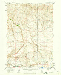
1958 · King Hill
USGS Topo · 1:62,500

1959 · Hailey
USGS Topo · 1:250,000

1962 · Hailey
USGS Topo · 1:250,000
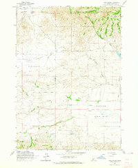
1963 · High Prairie
USGS Topo · 1:24,000
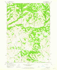
1963 · Deer Mountain
USGS Topo · 1:24,000
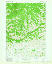
1963 · Sprout Mtn
USGS Topo · 1:24,000