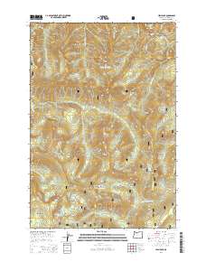
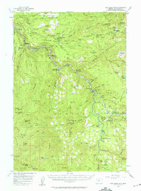
2014 Map of High Rock
USGS Topo · Published 2014About this map
Mount Hood National Forest dominates this topographic study of Clackamas County, revealing a landscape defined by sharp peaks and a dense network of mountain water. Prominent landmarks such as Salmon Butte and Frazier Mtn provide the vertical relief for a drainage system that feeds the Salmon River and Roaring River. Geologists and outdoorsmen will find interest in the concentration of named waterfalls near the northern boundary, including Little Niagara Falls, Final Falls, and Pulsating Falls. Historic access routes like Abbott Rd and Nat For Dev Rd Road 140 navigate the high ridges, connecting isolated alpine features like High Rock and Rock Lakes Basin. The area around Shellrock Lake and Cache Meadow highlights the transition between timbered slopes and high-elevation basins typical of the Oregon Cascades in the early 21st century.
Find a feature on this map
48 named features on this map. Tap any name to fly to it.
Don’t see what you’re looking for? This feature index may not catch every label — zoom into the map to look around manually.
Map Details
Editions of this 2014 High Rock Map
This is the sole edition of this map. No revisions or reprints were ever made.
Other maps of this area
1916 · Estacada
USGS Topo · 1:125,000
1924 · Mount Hood
USGS Topo · 1:125,000
1927 · Mount Hood
USGS Topo · 1:125,000
1948 · Vancouver
USGS Topo · 1:250,000
1950 · Vancouver
USGS Topo · 1:250,000
1950 · Vancouver
USGS Topo · 1:250,000

1953 · The Dalles
USGS Topo · 1:250,000
1955 · Cherryville
USGS Topo · 1:62,500

1956 · The Dalles
USGS Topo · 1:250,000
1956 · Fish Creek Mtn
USGS Topo · 1:62,500