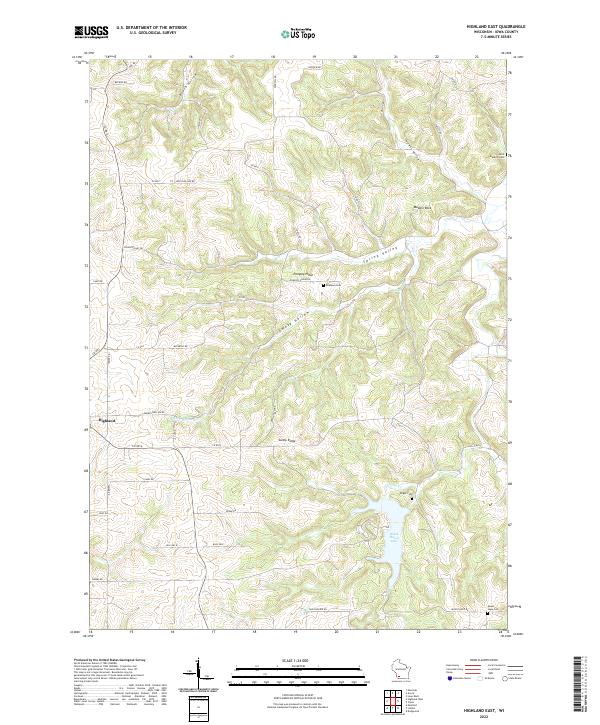
2022 Map of Highland East
USGS Topo · Published 2022About this map
Highland sits at the western edge of a landscape defined by deep valleys and high ridges in Iowa County. The topography is marked by significant landmarks like Pompey Pillar and Maiden Rock, which rise above the surrounding terrain of Spring Valley and Smoky Hollow. This 2022 survey details the intricate drainage patterns feeding into Black Hawk Lake, where Otter Cr meets the impoundment near Enger Cem.
Find a feature on this map
49 named features on this map. Tap any name to fly to it.
Don’t see what you’re looking for? This feature index may not catch every label — zoom into the map to look around manually.
Map Details
Editions of this 2022 Highland East Map
This is the sole edition of this map. No revisions or reprints were ever made.
Other maps of this area

1902 · Mineral Point
USGS Topo · 1:125,000

1905 · Richland Center
USGS Topo · 1:125,000

1952 · Montfort
USGS Topo · 1:24,000

1952 · Dodgeville
USGS Topo · 1:24,000

1952 · Linden
USGS Topo · 1:24,000

1958 · La Crosse
USGS Topo · 1:250,000

1959 · Dubuque
USGS Topo · 1:250,000

1960 · Muscoda
USGS Topo · 1:62,500

1960 · Spring Green
USGS Topo · 1:62,500

1961 · Dubuque
USGS Topo · 1:250,000