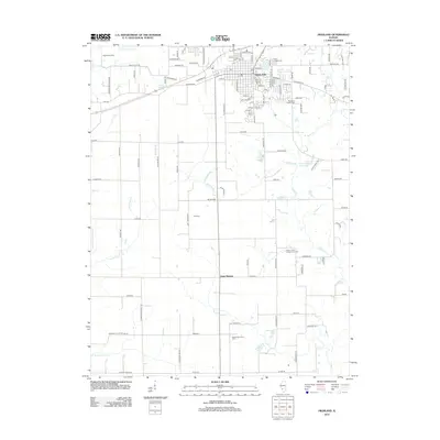
2012 Map of Highland
USGS Topo · Published 2012About this map
Highland serves as the primary hub of this Madison County landscape, where an organized street grid gives way to a network of rural roads and family-owned properties. The map reveals a community deeply connected to its agricultural roots, evidenced by large operations like Steinkoenig Dairy to the northwest and Bizenberger Dairy Farm in the south. Several family and community burial grounds, including the Rietmann Family Cem and Sugar Creek Presbyterian Cem, are preserved across the countryside, offering valuable data points for local genealogists and historians tracking early family settlements.
Find a feature on this map
112 named features on this map. Tap any name to fly to it.
Don’t see what you’re looking for? This feature index may not catch every label — zoom into the map to look around manually.
Map Details
Editions of this 2012 Highland Map
This is the sole edition of this map. No revisions or reprints were ever made.
Other maps of this area

1906 · Breese
USGS Topo · 1:62,500

1907 · Breese
USGS Topo · 1:62,500

1907 · Belleville
USGS Topo · 1:62,500

1927 · Edwardsville
USGS Topo · 1:62,500

1932 · Edwardsville
USGS Topo · 1:62,500

1935 · Lebanon
USGS Topo · 1:24,000

1937 · New Douglas
USGS Topo · 1:48,000

1944 · New Douglas
USGS Topo · 1:62,500

1949 · Lebanon
USGS Topo · 1:24,000

1949 · St. Jacob
USGS Topo · 1:24,000