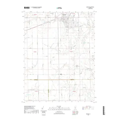
2018 Map of Highland
USGS Topo · Published 2018About this map
Highland serves as the primary hub of this landscape, situated at the junction of Madison, Clinton, and St. Clair counties. The town's grid is dense with named streets like Zschokke St and Pestalozzi St, reflecting its cultural heritage, while the surrounding countryside is defined by agricultural tracts and small water bodies. To the south, the smaller settlement of Saint Morgan sits near the crossing of Buckeye Br. This 2018 survey reveals a terrain shaped by the tributaries of the Silver Creek system, including Little Silver Cr and the E Br Little Silver Cr. Local history is anchored by several family and community burial grounds, such as the Rietmann Family Cem and the Sugar Creek Presbyterian Cem, which provide specific points of interest for genealogists tracing the early residents of this multi-county border region.
Find a feature on this map
115 named features on this map. Tap any name to fly to it.
Don’t see what you’re looking for? This feature index may not catch every label — zoom into the map to look around manually.
Map Details
Editions of this 2018 Highland Map
This is the sole edition of this map. No revisions or reprints were ever made.
Other maps of this area
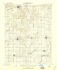
1906 · Breese
USGS Topo · 1:62,500
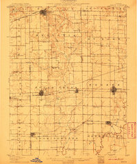
1907 · Breese
USGS Topo · 1:62,500
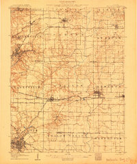
1907 · Belleville
USGS Topo · 1:62,500
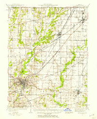
1927 · Edwardsville
USGS Topo · 1:62,500
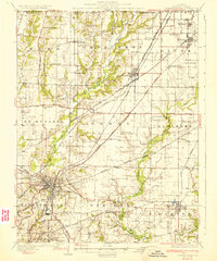
1932 · Edwardsville
USGS Topo · 1:62,500
1935 · Lebanon
USGS Topo · 1:24,000
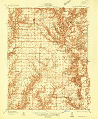
1937 · New Douglas
USGS Topo · 1:48,000
1944 · New Douglas
USGS Topo · 1:62,500
1949 · Lebanon
USGS Topo · 1:24,000
1949 · St. Jacob
USGS Topo · 1:24,000