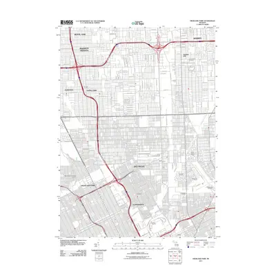
2011 Map of Highland Park
USGS Topo · Published 2011About this map
Detroit and its northern enclaves of Highland Park and Hamtramck are depicted in high detail during the early 21st century. This urban landscape is defined by its dense residential grid, historically tied to the growth of the American automotive industry. The map captures a significant concentration of burial grounds, including the expansive Mount Olivet Cemetery and Forest Lawn Cemetery, which serve as vital records for genealogists tracing the city's diverse ethnic heritage.
Find a feature on this map
102 named features on this map. Tap any name to fly to it.
Don’t see what you’re looking for? This feature index may not catch every label — zoom into the map to look around manually.
Map Details
Editions of this 2011 Highland Park Map
This is the sole edition of this map. No revisions or reprints were ever made.
Other maps of this area

1905 · Detroit
USGS Topo · 1:62,500

1905 · Grosse Pointe
USGS Topo · 1:62,500

1908 · Rochester
USGS Topo · 1:62,500

1912 · Mt Clemens
USGS Topo · 1:62,500

1918 · Detroit
USGS Topo · 1:62,500

1918 · Grosse Pointe
USGS Topo · 1:62,500

1924 · Detroit
USGS Topo · 1:62,500

1929 · Mt Clemens
USGS Topo · 1:62,500

1934 · Detroit
USGS Topo · 1:62,500

1936 · Warren
USGS Topo · 1:31,680