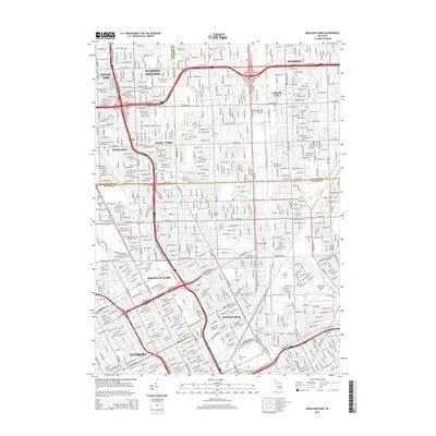
2014 Map of Highland Park
USGS Topo · Published 2014About this map
Highland Park and Hamtramck form distinctive enclaves within the dense urban grid of Detroit in this 2014 survey. The map details a complex intersection of municipal boundaries where Oakland, Macomb, and Wayne counties meet. This geography is defined by its extensive industrial-era street plan and major transportation corridors, including the Davison Fwy W and Edsel Ford Fwy E.
Find a feature on this map
46 named features on this map. Tap any name to fly to it.
Don’t see what you’re looking for? This feature index may not catch every label — zoom into the map to look around manually.
Map Details
Editions of this 2014 Highland Park Map
This is the sole edition of this map. No revisions or reprints were ever made.
Other maps of this area

1905 · Detroit
USGS Topo · 1:62,500

1905 · Grosse Pointe
USGS Topo · 1:62,500

1908 · Rochester
USGS Topo · 1:62,500

1912 · Mt Clemens
USGS Topo · 1:62,500

1918 · Detroit
USGS Topo · 1:62,500

1918 · Grosse Pointe
USGS Topo · 1:62,500

1924 · Detroit
USGS Topo · 1:62,500

1929 · Mt Clemens
USGS Topo · 1:62,500

1934 · Detroit
USGS Topo · 1:62,500

1936 · Warren
USGS Topo · 1:31,680