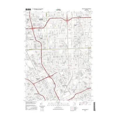
2017 Map of Highland Park
USGS Topo · Published 2017About this map
Highland Park and the surrounding enclaves of Hamtramck, Ferndale, and Hazel Park form a dense grid of residential and industrial history at the intersection of Oakland, Macomb, and Wayne Counties. The landscape is defined by its massive transportation corridors, including the path of the Gtw Rr and the intersection of I-75 and I-696. This urban fabric is punctuated by large institutional spaces, most notably the Sacred Heart Major Seminary and a sprawling network of historic burial grounds like Mount Olivet Cem and Forest Lawn Cem. The map captures the industrial-era layout of Detroit in the 21st century, where the Coleman A. Young Municipal Airport stands as a significant landmark in the northeast corner. Traces of the region's diverse heritage remain visible through named features like Betholem Cem and Saint Clements Cem.
Find a feature on this map
33 named features on this map. Tap any name to fly to it.
Don’t see what you’re looking for? This feature index may not catch every label — zoom into the map to look around manually.
Map Details
Editions of this 2017 Highland Park Map
This is the sole edition of this map. No revisions or reprints were ever made.
Other maps of this area

1905 · Detroit
USGS Topo · 1:62,500

1905 · Grosse Pointe
USGS Topo · 1:62,500

1908 · Rochester
USGS Topo · 1:62,500

1912 · Mt Clemens
USGS Topo · 1:62,500

1918 · Detroit
USGS Topo · 1:62,500

1918 · Grosse Pointe
USGS Topo · 1:62,500

1924 · Detroit
USGS Topo · 1:62,500

1929 · Mt Clemens
USGS Topo · 1:62,500

1934 · Detroit
USGS Topo · 1:62,500

1936 · Warren
USGS Topo · 1:31,680