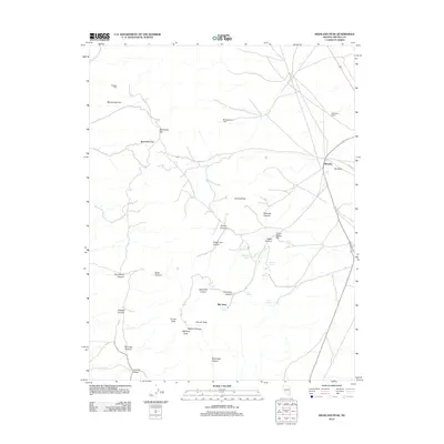
2012 Map of Highland Peak
USGS Topo · Published 2012About this map
Highland Peak and the Highland Range dominate this high-altitude landscape in Lincoln County, where the topography is defined by a series of steep canyons and isolated springs. The map reveals a history of land use focused on mining and ranching, evidenced by features such as Wheeler Mill and Wheeler Ranch located near Water Canyon. This early 21st-century survey documents the network of primitive roads and trails that traverse the complex terrain, connecting sites like Mendha and Montgomerys Cabin. The presence of numerous vital water sources, including Floral Spring and Connor Spring, highlights the critical infrastructure required for survival in this arid Nevada interior. Notable geological landmarks like Arizona Peak and Comet Peak serve as primary anchors for understanding the local physical geography.
Find a feature on this map
33 named features on this map. Tap any name to fly to it.
Don’t see what you’re looking for? This feature index may not catch every label — zoom into the map to look around manually.
Map Details
Editions of this 2012 Highland Peak Map
This is the sole edition of this map. No revisions or reprints were ever made.
Other maps of this area
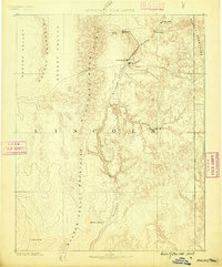
1885 · Pioche
USGS Topo · 1:250,000
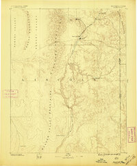
1886 · Pioche
USGS Topo · 1:250,000
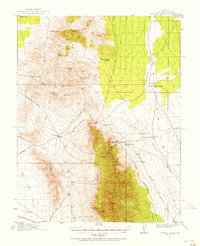
1915 · Bristol Range
USGS Topo · 1:62,500
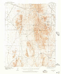
1916 · Highland
USGS Topo · 1:62,500
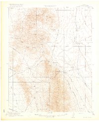
1917 · Bristol Range
USGS Topo · 1:62,500
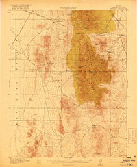
1918 · Highland
USGS Topo · 1:62,500
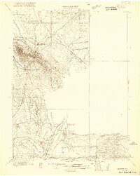
1921 · NW 1/4 Panaca
USGS Topo · 1:48,000
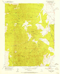
1953 · Highland Peak
USGS Topo · 1:24,000
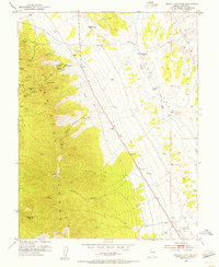
1953 · Bristol Range SE
USGS Topo · 1:24,000
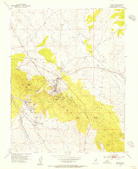
1953 · Pioche
USGS Topo · 1:24,000