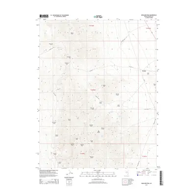
2014 Map of Highland Peak
USGS Topo · Published 2014About this map
Highland Peak stands as the dominant summit in this high-altitude landscape of Lincoln County, anchoring the southern end of the Highland Range. The map reveals a region defined by its verticality and historic mining access, with several named routes like Mendha Mine Rd and Comet Mine Rd carving through the steep terrain to reach remote sites. The settlement of Mendha sits on the eastern flank near The Point, while the northern portion of the sheet is occupied by the southern reaches of the Bristol Range. Water sources are sparse but critical, marked by scattered mountain springs such as Highland Spring, Floral Spring, and Deadman Spring. This 2014 survey documents a rugged Nevada interior where deep-cut drainages like Sheridan Canyon and Wood Canyon create a complex network of relief between the high peaks and the Pioche Hills.
Find a feature on this map
44 named features on this map. Tap any name to fly to it.
Don’t see what you’re looking for? This feature index may not catch every label — zoom into the map to look around manually.
Map Details
Editions of this 2014 Highland Peak Map
This is the sole edition of this map. No revisions or reprints were ever made.
Other maps of this area
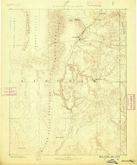
1885 · Pioche
USGS Topo · 1:250,000
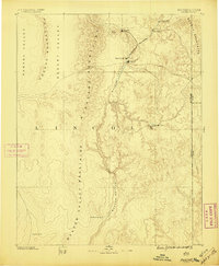
1886 · Pioche
USGS Topo · 1:250,000
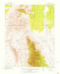
1915 · Bristol Range
USGS Topo · 1:62,500
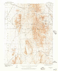
1916 · Highland
USGS Topo · 1:62,500
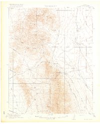
1917 · Bristol Range
USGS Topo · 1:62,500
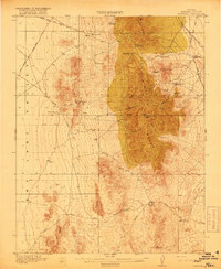
1918 · Highland
USGS Topo · 1:62,500
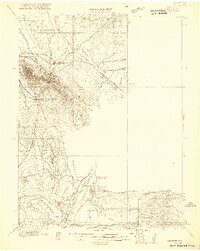
1921 · NW 1/4 Panaca
USGS Topo · 1:48,000
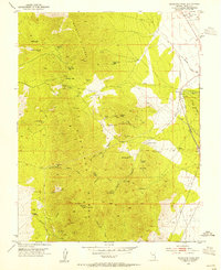
1953 · Highland Peak
USGS Topo · 1:24,000
1953 · Bristol Range SE
USGS Topo · 1:24,000
1953 · Pioche
USGS Topo · 1:24,000