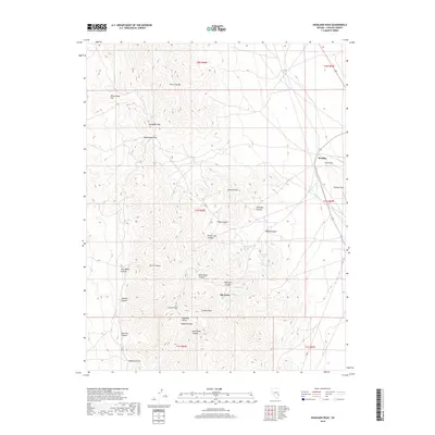
2018 Map of Highland Peak
USGS Topo · Published 2018About this map
Highland Peak and the surrounding Highland Range dominate this Lincoln County landscape, reaching heights that tower over the drainages of Dead Deer Canyon and Burrows Canyon. This 2018 survey documents a remote portion of the Great Basin where life clusters around sparse water sources like Highland Spring, Pine Spring, and Connor Spring. The settlement of Mendha sits at the edge of the Pioche Hills near The Point, while the small community of Big Trees is located further south near Connor Peak. The mapping of these peaks, including Comet Peak and Arizona Peak, reveals a topography defined by steep vertical relief and numerous named gaps such as Stampede Gap and Manhattan Gap. This detailed record captures the spatial relationship between these summits and the labyrinth of canyons, such as Sheridan Canyon and Wood Canyon, that drain the interior ranges.
Find a feature on this map
39 named features on this map. Tap any name to fly to it.
Don’t see what you’re looking for? This feature index may not catch every label — zoom into the map to look around manually.
Map Details
Editions of this 2018 Highland Peak Map
This is the sole edition of this map. No revisions or reprints were ever made.
Other maps of this area
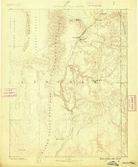
1885 · Pioche
USGS Topo · 1:250,000
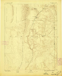
1886 · Pioche
USGS Topo · 1:250,000
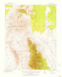
1915 · Bristol Range
USGS Topo · 1:62,500
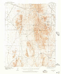
1916 · Highland
USGS Topo · 1:62,500
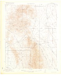
1917 · Bristol Range
USGS Topo · 1:62,500
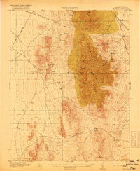
1918 · Highland
USGS Topo · 1:62,500
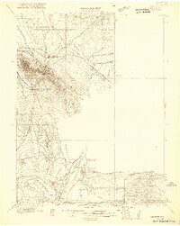
1921 · NW 1/4 Panaca
USGS Topo · 1:48,000
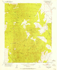
1953 · Highland Peak
USGS Topo · 1:24,000
1953 · Bristol Range SE
USGS Topo · 1:24,000
1953 · Pioche
USGS Topo · 1:24,000