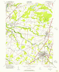
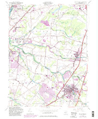
1954 Map of Hightstown
USGS Topo · Published 1956About this map
Hightstown stands as a focal point of this mid-century New Jersey landscape, showing the town's detailed street grid and the campus of Peddie Prep Sch just before major suburban expansion transformed the region. The map captures a moment when agriculture and academia defined the corridor between Philadelphia and New York. To the northwest, the Princeton University Medical Research Center and St Josephs Sch reflect the institutional character of the area, while the Millstone River and Delaware And Raritan Canal trace the historic industrial and transportation arteries that shaped early local development.
Find a feature on this map
52 named features on this map. Tap any name to fly to it.
Don’t see what you’re looking for? This feature index may not catch every label — zoom into the map to look around manually.
Map Details
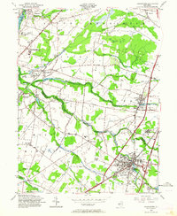
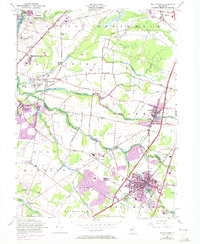
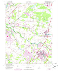
Editions of this 1954 Hightstown Map
5 editions found
Other maps of this area

1888 · Bordentown
USGS Topo · 1:62,500

1888 · New Brunswick
USGS Topo · 1:62,500

1888 · Princeton
USGS Topo · 1:62,500

1888 · Cassville
USGS Topo · 1:62,500

1893 · Bordentown
USGS Topo · 1:62,500

1893 · New Brunswick
USGS Topo · 1:62,500

1894 · Princeton
USGS Topo · 1:62,500

1894 · Cassville
USGS Topo · 1:62,500

1900 · Cassville
USGS Topo · 1:62,500

1901 · New Brunswick
USGS Topo · 1:62,500
Featured Places
- Franklin Township, NJ
- South Brunswick, NJ
- East Windsor Township, NJ
- West Windsor, NJ
- Plainsboro Township, NJ