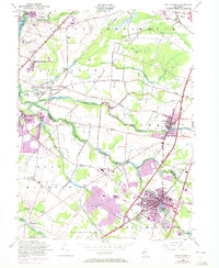
1954 Map of Hightstown
USGS Topo · Published 1972About this map
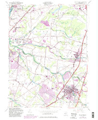
Hightstown stands as a focal point in this Central New Jersey landscape, which was undergoing significant urban expansion as indicated by the 1970 photorevisions. The borough is well-defined by its grid, featuring the Peddie Prep Sch and the waters of Brainerd Lake. The surrounding township of East Windsor and neighboring West Windsor show a transition from agricultural fields to more intensive development, though the courses of the Millstone River and Assunpink Creek still anchor the local topography.
Find a feature on this map
57 named features on this map. Tap any name to fly to it.
Don’t see what you’re looking for? This feature index may not catch every label — zoom into the map to look around manually.
Map Details
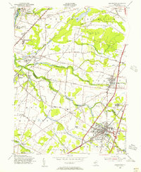
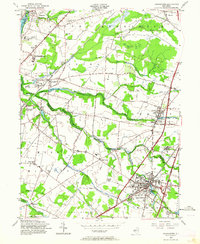
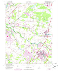
Editions of this 1954 Hightstown Map
5 editions found
Other maps of this area

1888 · Bordentown
USGS Topo · 1:62,500

1888 · New Brunswick
USGS Topo · 1:62,500

1888 · Princeton
USGS Topo · 1:62,500

1888 · Cassville
USGS Topo · 1:62,500

1893 · Bordentown
USGS Topo · 1:62,500

1893 · New Brunswick
USGS Topo · 1:62,500

1894 · Princeton
USGS Topo · 1:62,500

1894 · Cassville
USGS Topo · 1:62,500

1900 · Cassville
USGS Topo · 1:62,500

1901 · New Brunswick
USGS Topo · 1:62,500
Featured Places
- Franklin Township, NJ
- South Brunswick, NJ
- East Windsor Township, NJ
- West Windsor, NJ
- Plainsboro Township, NJ