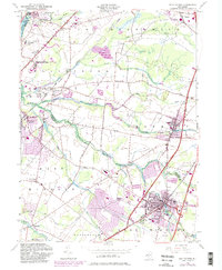
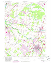
1954 Map of Hightstown
USGS Topo · Published 1982About this map
Hightstown and its surrounding townships reflect a mid-century period of suburban growth alongside established agricultural and academic centers. The Millstone River and Cranbury Brook provide the primary drainage for this part of New Jersey, which is characterized by a dense network of transport infrastructure including the New Jersey Turnpike and the Amtrak line. The map highlights the significant presence of local institutions, such as the Peddie Prep Sch in the borough of Hightstown and the Princeton University Medical Research Center near the northern edge of the sheet. Smaller settlements and historic crossroads like Grovers Mill, Locust Corner, and Scotts Corners are still clearly defined amidst the expanding residential purple-tinted zones. These older nodes are anchored by local landmarks such as Mt Zion Ch and the Cedar Hill Cem, marking the heritage of these Mercer and Middlesex County communities.
Find a feature on this map
57 named features on this map. Tap any name to fly to it.
Don’t see what you’re looking for? This feature index may not catch every label — zoom into the map to look around manually.
Map Details
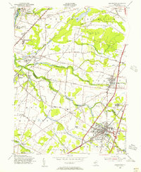
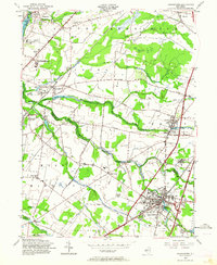
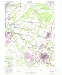
Editions of this 1954 Hightstown Map
5 editions found
Other maps of this area

1888 · Bordentown
USGS Topo · 1:62,500

1888 · New Brunswick
USGS Topo · 1:62,500

1888 · Princeton
USGS Topo · 1:62,500

1888 · Cassville
USGS Topo · 1:62,500

1893 · Bordentown
USGS Topo · 1:62,500

1893 · New Brunswick
USGS Topo · 1:62,500

1894 · Princeton
USGS Topo · 1:62,500

1894 · Cassville
USGS Topo · 1:62,500

1900 · Cassville
USGS Topo · 1:62,500

1901 · New Brunswick
USGS Topo · 1:62,500
Featured Places
- Franklin Township, NJ
- South Brunswick, NJ
- East Windsor Township, NJ
- West Windsor, NJ
- Plainsboro Township, NJ