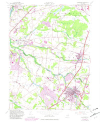
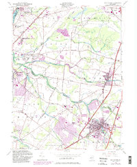
1954 Map of Hightstown
USGS Topo · Published 1982About this map
Hightstown serves as the focal point of this Central New Jersey survey, situated at the confluence of several major transit lines and the winding Cranbury Brook. The map captures the region during a significant period of postwar expansion, particularly visible in the purple-shaded revisions around the Jersey Turnpike and the Interchange No 8. To the west, the landscape transitions into the scholarly and research corridors near Plainsboro, where the Princeton University Medical Research Center and Landing Field indicate the area's growing institutional importance.
Find a feature on this map
57 named features on this map. Tap any name to fly to it.
Don’t see what you’re looking for? This feature index may not catch every label — zoom into the map to look around manually.
Map Details
Editions of this 1954 Hightstown Map
5 editions found
Other maps of this area

1888 · Bordentown
USGS Topo · 1:62,500

1888 · New Brunswick
USGS Topo · 1:62,500

1888 · Princeton
USGS Topo · 1:62,500

1888 · Cassville
USGS Topo · 1:62,500

1893 · Bordentown
USGS Topo · 1:62,500

1893 · New Brunswick
USGS Topo · 1:62,500

1894 · Princeton
USGS Topo · 1:62,500

1894 · Cassville
USGS Topo · 1:62,500

1900 · Cassville
USGS Topo · 1:62,500

1901 · New Brunswick
USGS Topo · 1:62,500
Featured Places
- Franklin Township, NJ
- South Brunswick, NJ
- East Windsor Township, NJ
- West Windsor, NJ
- Plainsboro Township, NJ