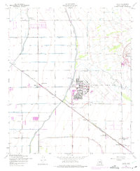
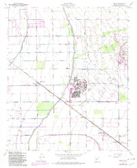
1956 Map of Higley
USGS Topo · Published 1975About this map
Williams Air Force Base dominates the eastern landscape of this Maricopa County survey, featuring a complex layout including a Golf Course, Willie Park, and a Pool alongside its active runways. The surrounding area illustrates the agricultural and military infrastructure of the mid-20th century desert, where the Southern Pacific Rittenhouse Road cuts diagonally through the grid of sections. Small rural hubs like Higley and Germann serve as focal points for the local community, supported by the Higley Sch and Queen Creek Sch.
Find a feature on this map
51 named features on this map. Tap any name to fly to it.
Don’t see what you’re looking for? This feature index may not catch every label — zoom into the map to look around manually.
Map Details
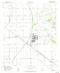
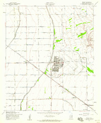
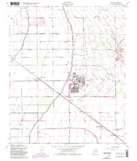
Editions of this 1956 Higley Map
5 editions found
Other maps of this area

1904 · Desert Well
USGS Topo · 1:62,500

1906 · Desert Well
USGS Topo · 1:62,500

1907 · Sacaton
USGS Topo · 1:62,500

1913 · Mesa
USGS Topo · 1:62,500

1914 · Gila Butte
USGS Topo · 1:62,500

1915 · Mesa
USGS Topo · 1:62,500

1917 · Gila Butte
USGS Topo · 1:62,500

1952 · Chandler
USGS Topo · 1:24,000
1952 · Mesa
USGS Topo · 1:24,000

1952 · Gila Butte
USGS Topo · 1:24,000