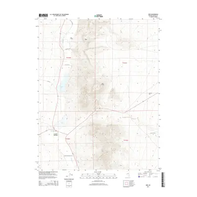
2015 Map of Hiko
USGS Topo · Published 2015About this map
Hiko and the surrounding Pahranagat Valley are defined by a network of springs and lakes that break the arid landscape of Lincoln County. This survey illustrates the vital role of water in the high desert, featuring Hiko Spring and Crystal Springs feeding into bodies like Nesbitt Lake and Frenchy Lake. The terrain is dominated by the Hiko Range, which is carved by the prominent Hiko Canyon to the west. Rural development is tied to these water sources, shown through local landmarks such as Stewart Brothers Ranch Rd and Cannon Ranch Rd. The map also captures the vast Sixmile Flat and the drainage of Crystal Wash and Pahranagat Cr, detailing the intricate relationship between topography and human ranching activity in the Great Basin.
Find a feature on this map
23 named features on this map. Tap any name to fly to it.
Don’t see what you’re looking for? This feature index may not catch every label — zoom into the map to look around manually.
Map Details
Editions of this 2015 Hiko Map
This is the sole edition of this map. No revisions or reprints were ever made.
Other maps of this area
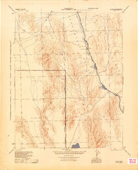
1945 · Alamo
USGS Topo · 1:125,000

1954 · Caliente
USGS Topo · 1:250,000
1959 · Caliente
USGS Topo · 1:250,000
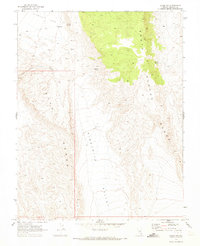
1969 · Alamo NE
USGS Topo · 1:24,000
1969 · Ash Springs
USGS Topo · 1:24,000
1970 · Hiko NE
USGS Topo · 1:24,000
1970 · Hiko SE
USGS Topo · 1:24,000
1970 · Fossil Peak
USGS Topo · 1:24,000
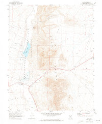
1970 · Hiko
USGS Topo · 1:24,000
1983 · Hancock Summit
USGS Topo · 1:24,000