
1970 Map of Hiko NE
USGS Topo · Published 1973About this map
The North Pahroc Range dominates the eastern horizon of this 1970 landscape, its complex ridges and spurs dropping sharply toward the desert basin. Below these high peaks, the broad expanse of Six Mile Flat stretches across the southern portion of the quadrangle, illustrating the stark transition from high desert mountain terrain to the valley floor. The northern reach of the map is defined by the White River and Seaman Wash, which provide the primary drainage for this arid corridor of Lincoln County.
Find a feature on this map
20 named features on this map. Tap any name to fly to it.
Don’t see what you’re looking for? This feature index may not catch every label — zoom into the map to look around manually.
Map Details
Editions of this 1970 Hiko NE Map
This is the sole edition of this map. No revisions or reprints were ever made.
Other maps of this area

1885 · Pioche
USGS Topo · 1:250,000

1886 · Pioche
USGS Topo · 1:250,000

1954 · Caliente
USGS Topo · 1:250,000

1959 · Caliente
USGS Topo · 1:250,000
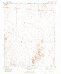
1970 · Pahroc Summit Pass
USGS Topo · 1:24,000

1970 · Hiko SE
USGS Topo · 1:24,000

1970 · Seaman Wash
USGS Topo · 1:24,000

1970 · Wheatgrass Spring
USGS Topo · 1:24,000

1970 · Fossil Peak
USGS Topo · 1:24,000
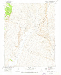
1970 · White River Narrows
USGS Topo · 1:24,000