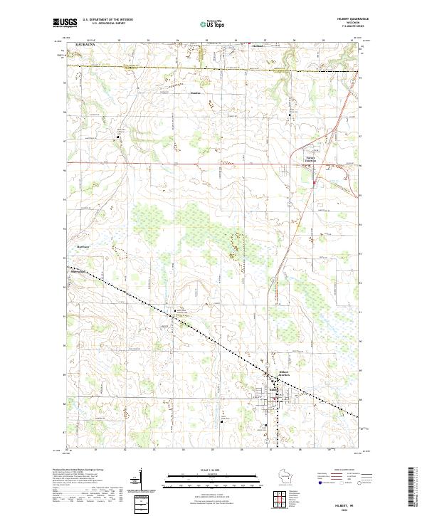
2022 Map of Hilbert
USGS Topo · Published 2022About this map
Hilbert and Hilbert Junction serve as the focal points of this Calumet County landscape, where the agricultural grid meets several significant watercourses. The drainage of the N Br Manitowoc River and the Killsnake River define the local topography, creating a pattern of wetlands and woodlots interspersed with family farms. Local religious and community centers are well-represented by sites like Saint Johns Catholic Cem and Saint Mary's Cem. The presence of the Friendship State Trl passing through Forest Junction suggests a reuse of former rail corridors, reflecting the area's transition from a heavy rail-and-agriculture economy to one that includes recreational conservation. Small clusters of settlement at Sherwood, Dundas, and Harrison illustrate the traditional crossroads development typical of eastern Wisconsin, where church-and-school hubs like Saint Peter Cem served as the anchors for rural life.
Find a feature on this map
61 named features on this map. Tap any name to fly to it.
Don’t see what you’re looking for? This feature index may not catch every label — zoom into the map to look around manually.
Map Details
Editions of this 2022 Hilbert Map
This is the sole edition of this map. No revisions or reprints were ever made.
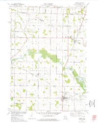
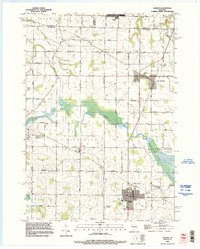
Historical Maps of Harrison Through Time
3 maps found