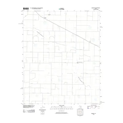
2010 Map of Hilburn
USGS Topo · Published 2010About this map
North Fork Running Water Draw meanders across this High Plains landscape, defining the local hydrology of Castro County at the start of the twenty-first century. The rural settlement of Hilburn sits at the intersection of FM 168 and County Road 627, serving as a primary point of reference for the surrounding agricultural grid. Further southeast, the locality of Grisham is situated along the same farm-to-market corridor, reflecting the sparse but organized settlement pattern of the Texas Panhandle. Infrastructure improvements are visible through the Soil Conservation Service Site 2 Dam, while the Hart Aerial Airport provides a specialized transport hub in the northwestern quadrant. The map reveals an intricate network of county roads, such as Co RD 527 and Elm Rd, that divide the vast plains into a patchwork of rural landholdings and ranching operations.
Find a feature on this map
31 named features on this map. Tap any name to fly to it.
Don’t see what you’re looking for? This feature index may not catch every label — zoom into the map to look around manually.
Map Details
Editions of this 2010 Hilburn Map
This is the sole edition of this map. No revisions or reprints were ever made.
Other maps of this area

1954 · Plainview
USGS Topo · 1:250,000

1954 · Clovis
USGS Topo · 1:250,000

1958 · Clovis
USGS Topo · 1:250,000

1958 · Plainview
USGS Topo · 1:250,000

1963 · Hart NW
USGS Topo · 1:24,000

1963 · Olton
USGS Topo · 1:24,000

1963 · Hart SW
USGS Topo · 1:24,000

1965 · Hart
USGS Topo · 1:24,000

1965 · Edmonson
USGS Topo · 1:24,000

1965 · Hilburn
USGS Topo · 1:24,000