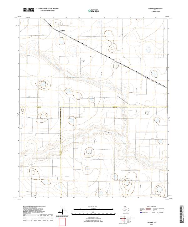
2022 Map of Hilburn
USGS Topo · Published 2022This historical map portrays the area of Hilburn in 2022, primarily covering Castro County as well as portions of Lamb County and Hale County. Featuring a scale of 1:24000, this map provides a highly detailed snapshot of the terrain, roads, buildings, counties, and historical landmarks in the Hilburn region at the time. Published in 2022, it is the sole known edition of this map.
Map Details
Editions of this 2022 Hilburn Map
This is the sole edition of this map. No revisions or reprints were ever made.
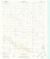
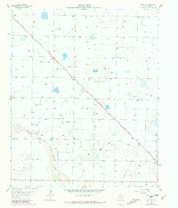
Historical Maps of Hilburn Through Time
20 maps found
1962 Dodd NE
Castro County, TX
1963 Flagg
Castro County, TX
1963 Hart NW
Castro County, TX
1965 Dimmitt SW
Castro County, TX
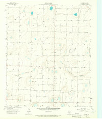
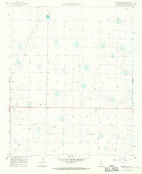
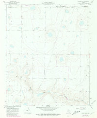
1965 Hilburn
Castro County, TX
1965 Nazareth SW
Castro County, TX
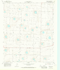
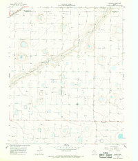
1966 Arney
Castro County, TX
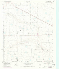
1966 Easter
Castro County, TX
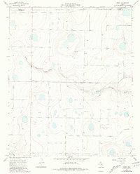
1966 Jumbo
Castro County, TX
1966 Nazareth NW
Castro County, TX
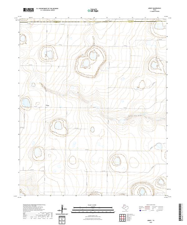
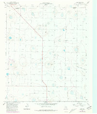
2022 Arney
Castro County, TX
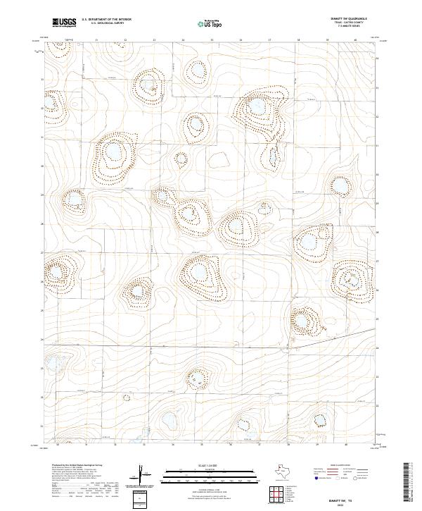
2022 Dimmitt SW
Castro County, TX
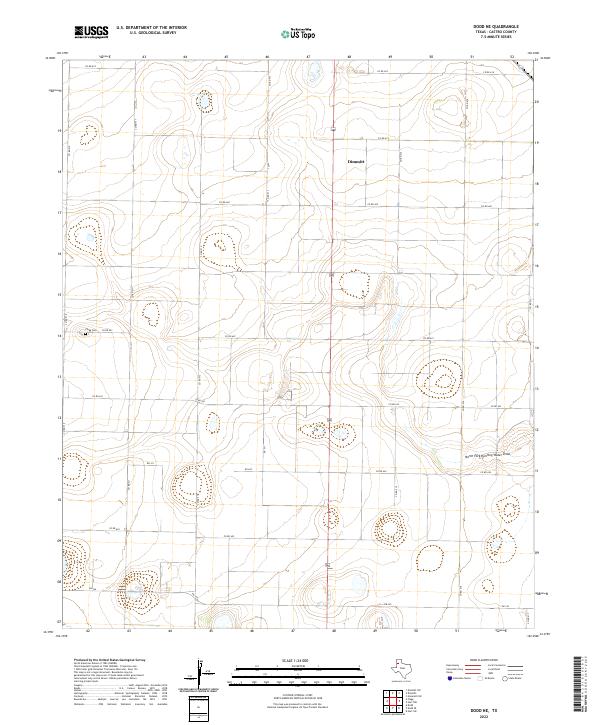
2022 Dodd NE
Castro County, TX
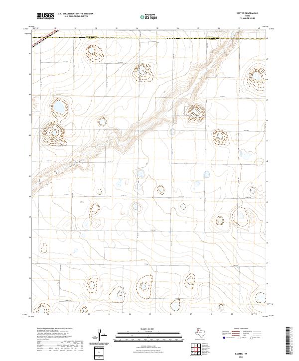
2022 Easter
Castro County, TX
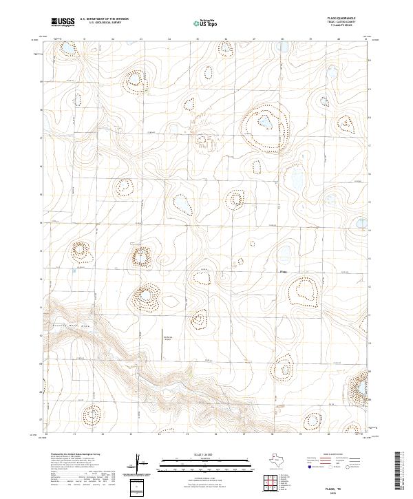
2022 Flagg
Castro County, TX
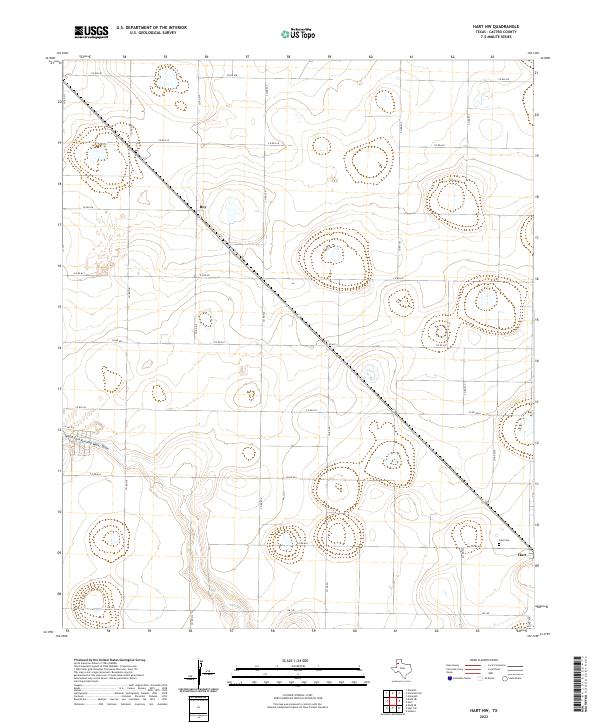
2022 Hart NW
Castro County, TX
2022 Hilburn
Castro County, TX
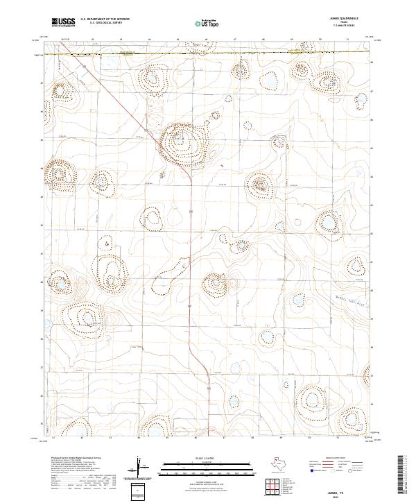
2022 Jumbo
Castro County, TX
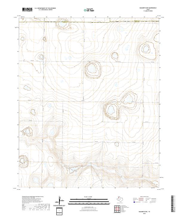
2022 Nazareth NW
Castro County, TX
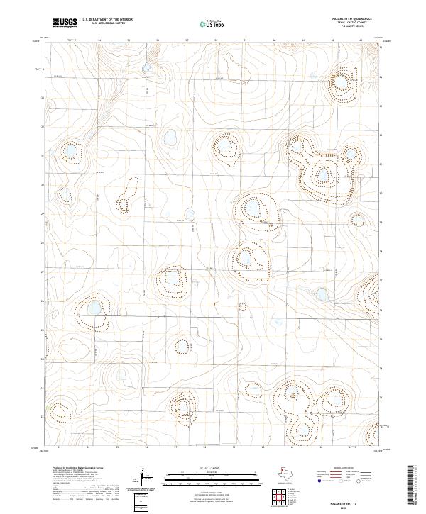
2022 Nazareth SW
Castro County, TX