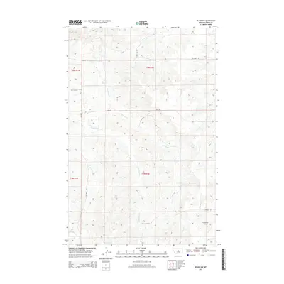
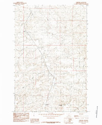
2014 Map of Hilger NW
USGS Topo · Published 2014About this map
Salt Cr and its numerous tributaries dominate this Fergus County landscape, carving a network of drainage patterns through the high plains. The confluence of the W Fork Salt Cr, Middle Fork Salt Cr, and E Fork Salt Cr illustrates the complex hydrology of this central Montana region. Evidence of early twentieth-century land management is visible in the Public Land Survey System grid, which still dictates the placement of local thoroughfares like Balky Horse Rd and 3 Mile Rd. While the area remains largely open rangeland, localized water sources such as Cottonwood Spring provide critical anchor points for the surrounding environment. To the southeast, the terrain shifts near Freeze Out Coulee, where the map tracks the transition toward the drainage of Box Elder Cr. Small named routes like Jimmerson and Sawyer Ln indicate the enduring presence of ranching and rural habitation.
Find a feature on this map
19 named features on this map. Tap any name to fly to it.
Don’t see what you’re looking for? This feature index may not catch every label — zoom into the map to look around manually.
Map Details
Editions of this 2014 Hilger NW Map
This is the sole edition of this map. No revisions or reprints were ever made.
Other maps of this area

1954 · Lewistown
USGS Topo · 1:250,000

1959 · Lewistown
USGS Topo · 1:250,000
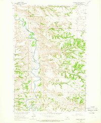
1964 · Anderson Bridge
USGS Topo · 1:24,000
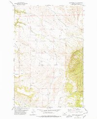
1978 · Seventytwo Hills
USGS Topo · 1:24,000
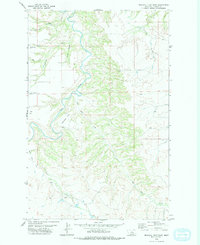
1978 · Wild Bill Flat East
USGS Topo · 1:24,000
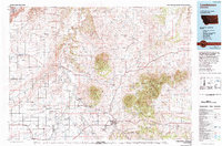
1978 · Lewistown
USGS Topo · 1:100,000
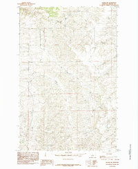
1985 · Hilger NW
USGS Topo · 1:24,000
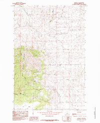
1985 · Kendall
USGS Topo · 1:24,000
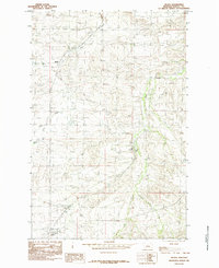
1985 · Hilger
USGS Topo · 1:24,000
1985 · Christina
USGS Topo · 1:24,000