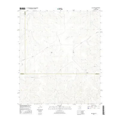
2016 Map of Hill Ranch
USGS Topo · Published 2016About this map
Hill Ranch sits at the convergence of Sutton, Kimble, and Edwards counties in the Texas Hill Country, a landscape defined by deep limestone draws and seasonal watercourses. The drainage patterns of Knust Draw and the headwaters of Bois d'Arc Cr reveal the dissected nature of this plateau, where elevation varies across a network of private ranch roads. The presence of the J R Ranch Airport reflects the large-scale ranching operations that characterize this region, where aerial access and extensive road systems like Nethery Rd are essential for land management. Flowing through the eastern portion of the survey, Salina Cr and Maynard Cr carve further into the terrain, marking the remote character of this three-county junction during the early twenty-first century.
Find a feature on this map
16 named features on this map. Tap any name to fly to it.
Don’t see what you’re looking for? This feature index may not catch every label — zoom into the map to look around manually.
Map Details
Editions of this 2016 Hill Ranch Map
This is the sole edition of this map. No revisions or reprints were ever made.
Other maps of this area

1893 · Rock Springs
USGS Topo · 1:125,000

1926 · Segovia 2-c
USGS Topo · 1:48,000

1932 · Junction
USGS Topo · 1:62,500

1954 · Llano
USGS Topo · 1:250,000

1954 · Sonora
USGS Topo · 1:250,000

1955 · Llano
USGS Topo · 1:250,000

1956 · Llano
USGS Topo · 1:250,000

1958 · Sonora
USGS Topo · 1:250,000

1962 · Hill Ranch
USGS Topo · 1:24,000

1962 · Roosevelt
USGS Topo · 1:24,000