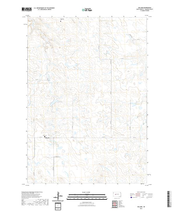
2021 Map of Hilland
USGS Topo · Published 2021About this map
Hilland sits at the intersection of 215th St and 117th Ave, serving as a central point in this rural Haakon County landscape. The area is defined by its drainage systems, with Bridger Cr and its S Fork Bridger Cr carving paths through the terrain alongside Grindstone Cr and W Plum Cr. These waterways dictate the historical movement and settlement patterns across the plains.
Find a feature on this map
26 named features on this map. Tap any name to fly to it.
Don’t see what you’re looking for? This feature index may not catch every label — zoom into the map to look around manually.
Map Details
Editions of this 2021 Hilland Map
This is the sole edition of this map. No revisions or reprints were ever made.
Other maps of this area

1954 · Pierre
USGS Topo · 1:250,000

1955 · Hilland NW
USGS Topo · 1:24,000

1958 · Pierre
USGS Topo · 1:250,000

1983 · Post Ranch
USGS Topo · 1:24,000

1983 · Philip
USGS Topo · 1:100,000

1983 · Hilland
USGS Topo · 1:24,000
1983 · Elevenmile Corner
USGS Topo · 1:24,000
1983 · Hartley
USGS Topo · 1:24,000

1983 · Milesville
USGS Topo · 1:24,000
1983 · Grindstone
USGS Topo · 1:24,000