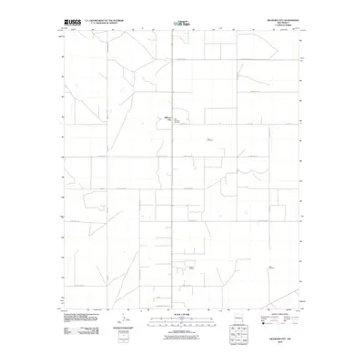
2010 Map of Hillburn City
USGS Topo · Published 2010About this map
Hillburn City serves as the central hub of this eastern New Mexico landscape, where a grid of section roads and energy infrastructure defines the local economy. The map reveals the organized layout of the Caudill Oil Field, illustrating the intensive land use required for resource extraction in Lea County. Cultural history is anchored by the presence of the Old Plainview Cemetery and Cox Cemetery, which provide vital touchstones for genealogists researching early settlement families in this high plains region. The terrain is sparsely populated, characterized by functional landmarks like the Dean Windmill and uniquely named thoroughfares such as Six Shooter Rd and Quail Acres Rd. These features, alongside numerous county roads like Reed Rd and Enterprise Rd, document the intersection of rural ranching heritage and modern industrial development.
Find a feature on this map
22 named features on this map. Tap any name to fly to it.
Don’t see what you’re looking for? This feature index may not catch every label — zoom into the map to look around manually.
Map Details
Editions of this 2010 Hillburn City Map
This is the sole edition of this map. No revisions or reprints were ever made.
Other maps of this area

1954 · Hobbs
USGS Topo · 1:250,000

1954 · Brownfield
USGS Topo · 1:250,000

1958 · Brownfield
USGS Topo · 1:250,000

1958 · Hobbs
USGS Topo · 1:250,000

1962 · Brownfield
USGS Topo · 1:250,000

1962 · Lovington
USGS Topo · 1:24,000

1962 · Lovington
USGS Topo · 1:62,500

1970 · Prairieview
USGS Topo · 1:24,000

1970 · Prairieview NW
USGS Topo · 1:24,000

1970 · Hillburn City
USGS Topo · 1:24,000