
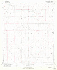
1970 Map of Hillburn City
USGS Topo · Published 1972About this map
Hillburn City stands as a focal point in this high plains landscape of Lea County, where the mid-century economy is defined by petroleum extraction and ranching. The presence of the Caudill Oil Field, complete with a Pumping Sta and a network of pipelines, illustrates the industrial footprint of the era. This industrial activity exists alongside older markers of land use, such as the Dean Windmill and the Cox Cemetery, which offer valuable points of reference for genealogists and local historians. The terrain is further characterized by scattered gravel pits and numerous wells, while the Zip Landing Area suggests the necessity of light aircraft for navigating these expansive distances. This survey provides a precise look at the transition between traditional grazing lands and the intensive development of the Permian Basin's energy resources.
Find a feature on this map
13 named features on this map. Tap any name to fly to it.
Don’t see what you’re looking for? This feature index may not catch every label — zoom into the map to look around manually.
Map Details
Editions of this 1970 Hillburn City Map
Other maps of this area

1954 · Hobbs
USGS Topo · 1:250,000

1954 · Brownfield
USGS Topo · 1:250,000

1958 · Brownfield
USGS Topo · 1:250,000

1958 · Hobbs
USGS Topo · 1:250,000

1962 · Brownfield
USGS Topo · 1:250,000

1962 · Lovington
USGS Topo · 1:24,000

1962 · Lovington
USGS Topo · 1:62,500

1970 · Prairieview
USGS Topo · 1:24,000

1970 · Prairieview NW
USGS Topo · 1:24,000

1970 · Tatum South
USGS Topo · 1:24,000