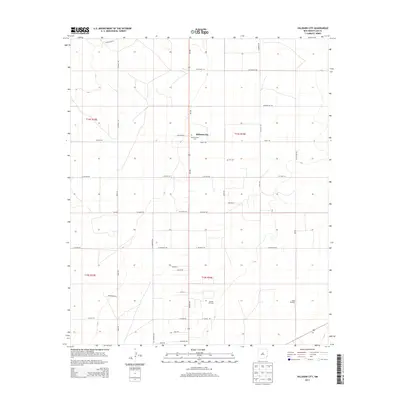
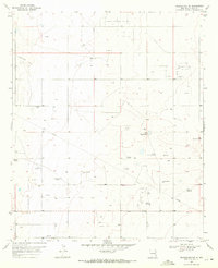
2013 Map of Hillburn City
USGS Topo · Published 2013About this map
Hillburn City and the surrounding high plains of Lea County are defined here by a geometric grid of ranch roads and energy infrastructure. The landscape shows a clear transition between traditional ranching and modern industrial use, evidenced by landmarks like the Dean Windmill and the expansive Caudill Oil Field. For local historians and genealogists, the map preserves the location of two significant burial grounds, Old Plainview Cem and Cox Cem, which anchor the history of early families in this corner of New Mexico. The road network, including the colorfully named Six Shooter Rd and the primary Tatum Hwy, illustrates how transportation and access have evolved to support both the local community and the petroleum industry. This 2013 survey captures the area's spatial organization just as contemporary mapping technologies were beginning to integrate with long-established cadastral boundaries.
Find a feature on this map
45 named features on this map. Tap any name to fly to it.
Don’t see what you’re looking for? This feature index may not catch every label — zoom into the map to look around manually.
Map Details
Editions of this 2013 Hillburn City Map
This is the sole edition of this map. No revisions or reprints were ever made.
Other maps of this area

1954 · Hobbs
USGS Topo · 1:250,000

1954 · Brownfield
USGS Topo · 1:250,000

1958 · Brownfield
USGS Topo · 1:250,000

1958 · Hobbs
USGS Topo · 1:250,000

1962 · Brownfield
USGS Topo · 1:250,000
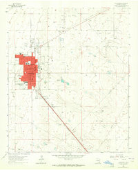
1962 · Lovington
USGS Topo · 1:24,000
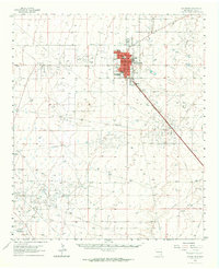
1962 · Lovington
USGS Topo · 1:62,500
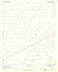
1970 · Prairieview
USGS Topo · 1:24,000
1970 · Prairieview NW
USGS Topo · 1:24,000
1970 · Hillburn City
USGS Topo · 1:24,000